
Image: OSM Humanitarian map, Wayne County, Michigan

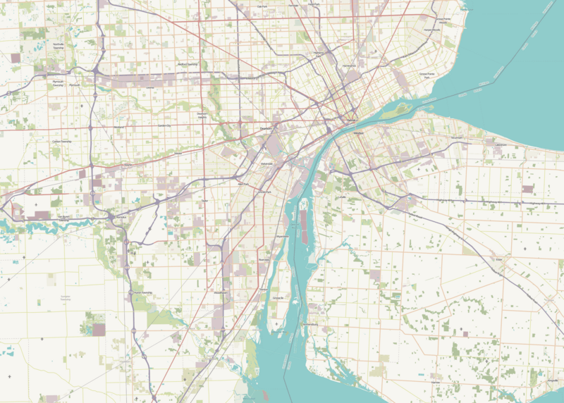
Description: It's a map.
Title: OSM Humanitarian map, Wayne County, Michigan
Credit: OpenStreetMap "Humanitarian" layer
Author: OpenStreetMap contributors
Permission: This file is licensed under the Creative Commons Attribution 2.0 Generic license. You are free: to share – to copy, distribute and transmit the work to remix – to adapt the work Under the following conditions: attribution – You must give appropriate credit, provide a link to the license, and indicate if changes were made. You may do so in any reasonable manner, but not in any way that suggests the licensor endorses you or your use. https://creativecommons.org/licenses/by/2.0 CC BY 2.0 Creative Commons Attribution 2.0 truetrue
Usage Terms: Creative Commons Attribution 2.0
License: CC BY 2.0
License Link: https://creativecommons.org/licenses/by/2.0
Attribution Required?: Yes
Image usage
The following 25 pages link to this image:
- Bois Blanc Island (Ontario)
- Calf Island (Michigan)
- Celeron Island, Michigan
- Cherry Island (Michigan)
- Edmond Island, Michigan
- Elba Island, Michigan
- Fighting Island
- Fordson Island (Michigan)
- Fox Island, Michigan
- Grassy Island
- Hickory Island, Michigan
- Horse Island, Michigan
- Humbug Marsh
- Mamajuda Island
- Meso Island, Michigan
- Millman Island
- Mud Island, Michigan
- Peche Island
- Powder House Island, Michigan
- Round Island, Michigan
- Stony Island, Michigan
- Sturgeon Bar (Michigan)
- Sugar Island (Detroit River)
- Swan Island, Michigan
- Zug Island
