
Image: Ocoee Upper Topo
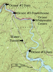
Size of this preview: 442 × 599 pixels. Other resolutions: 177 × 240 pixels | 2,072 × 2,808 pixels.
Original image (2,072 × 2,808 pixels, file size: 1.29 MB, MIME type: image/png)
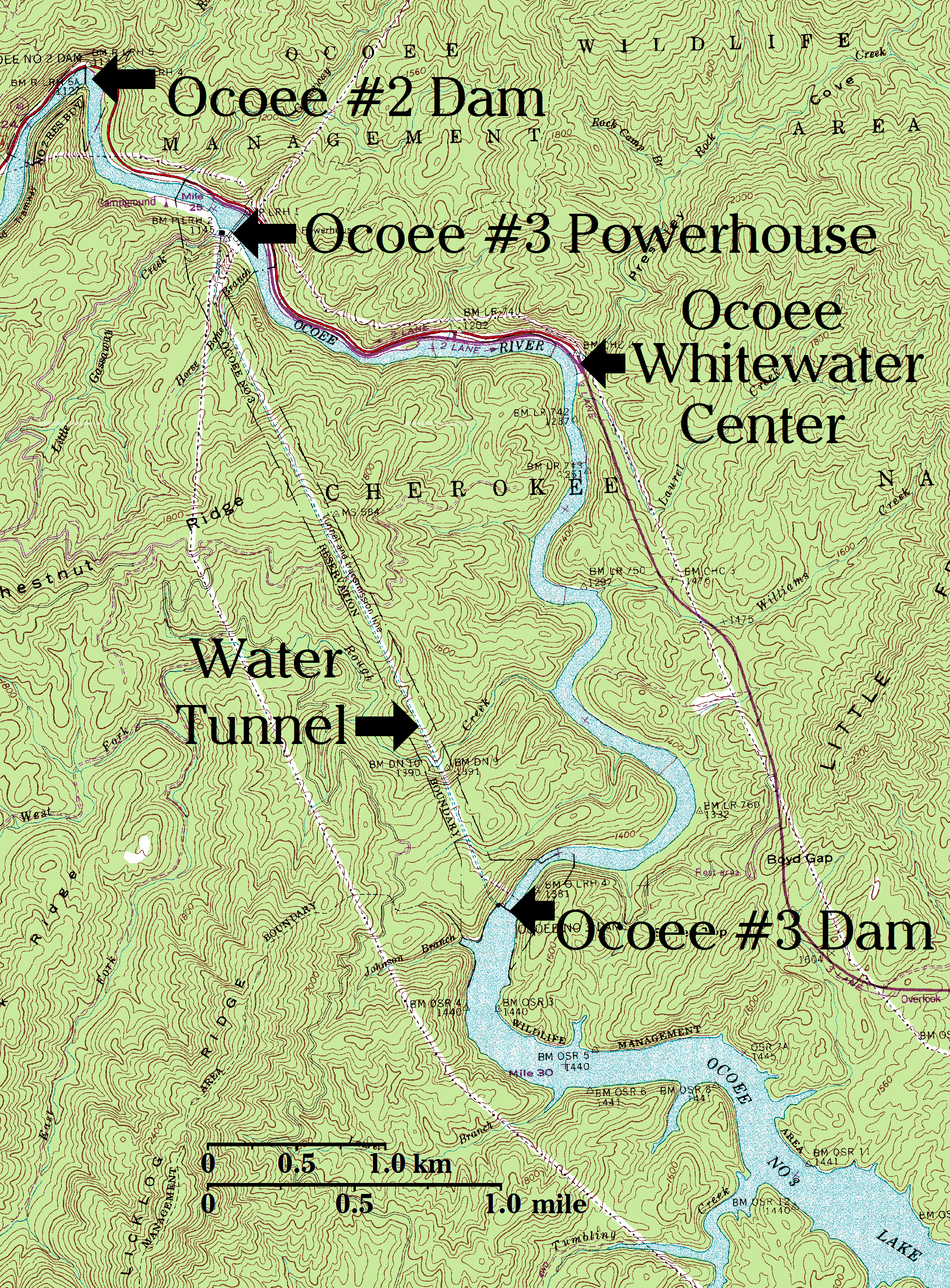
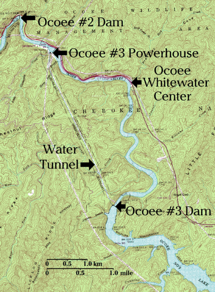
Description: Upper Ocoee River topographical map, with key points labeled in large font. Flows northwestward through the southern Appalachian Mountains of the southeastern United States.
Title: Ocoee Upper Topo
Credit: US Geological Survey Map modified by myself
Author: US Geological Survey Map modified by myself
Usage Terms: Public domain
License: Public domain
Attribution Required?: No
Image usage
The following page links to this image:

All content from Kiddle encyclopedia articles (including the article images and facts) can be freely used under Attribution-ShareAlike license, unless stated otherwise.