
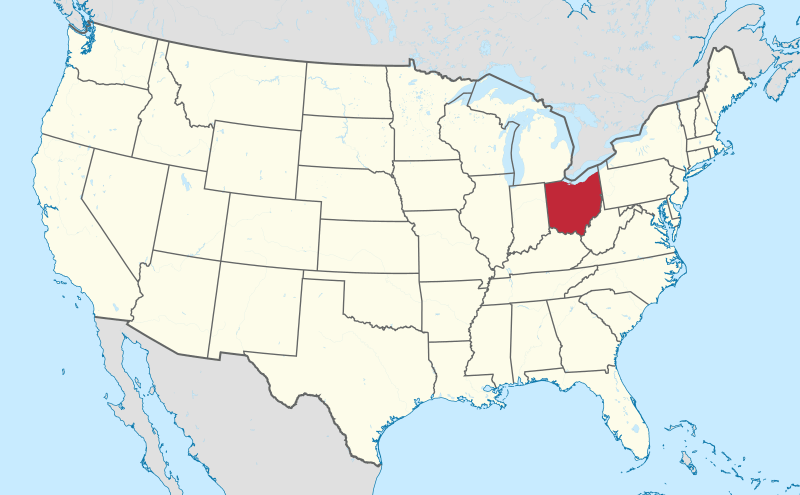
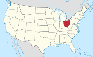
Image: Ohio in United States (US48)

Size of this PNG preview of this SVG file: 800 × 495 pixels. Other resolution: 320 × 198 pixels.
Original image (SVG file, nominally 1,181 × 731 pixels, file size: 2.36 MB)
Description: Location of state of XY (see filename) in the United States
Title: Ohio in United States (US48)
Credit: Own work This vector graphics image was created with Adobe Illustrator. This file was uploaded with Commonist. This vector image includes elements that have been taken or adapted from this: Usa edcp location map.svg (by Uwe Dedering).
Author: TUBS
Usage Terms: Creative Commons Attribution-Share Alike 3.0
License: CC BY-SA 3.0
License Link: http://creativecommons.org/licenses/by-sa/3.0
Attribution Required?: Yes
Image usage
The following 40 pages link to this image:
- Bay Village, Ohio
- Beachwood, Ohio
- Bedford, Ohio
- Bedford Heights, Ohio
- Bentleyville, Ohio
- Berea, Ohio
- Bratenahl, Ohio
- Broadview Heights, Ohio
- Brooklyn, Ohio
- Chagrin Falls, Ohio
- Cleveland Heights, Ohio
- East Cleveland, Ohio
- Euclid, Ohio
- Garfield Heights, Ohio
- Gates Mills, Ohio
- Highland Heights, Ohio
- Highland Hills, Ohio
- Independence, Ohio
- Lyndhurst, Ohio
- Mayfield, Ohio
- Mayfield Heights, Ohio
- Middleburg Heights, Ohio
- Moreland Hills, Ohio
- North Olmsted, Ohio
- North Randall, Ohio
- Oakwood, Cuyahoga County, Ohio
- Olmsted Falls, Ohio
- Olmsted Township, Cuyahoga County, Ohio
- Parma, Ohio
- Parma Heights, Ohio
- Pepper Pike, Ohio
- Seven Hills, Ohio
- Shaker Heights, Ohio
- Solon, Ohio
- South Euclid, Ohio
- Strongsville, Ohio
- University Heights, Ohio
- Valley View, Ohio
- Warrensville Heights, Ohio
- Westlake, Ohio

All content from Kiddle encyclopedia articles (including the article images and facts) can be freely used under Attribution-ShareAlike license, unless stated otherwise.
.svg)