
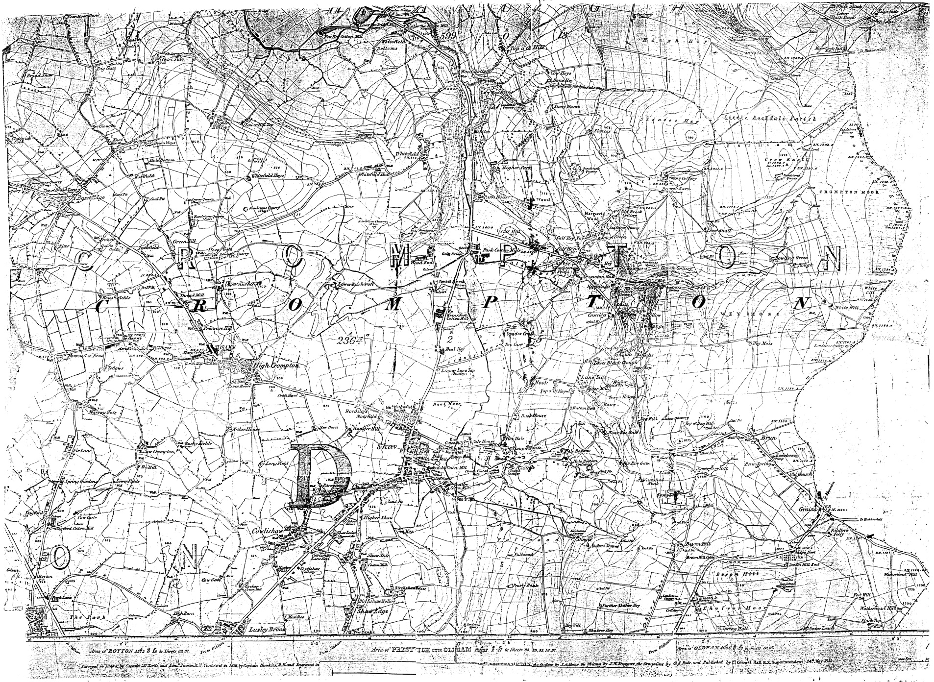
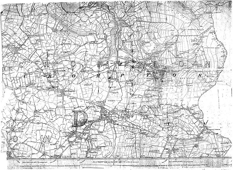
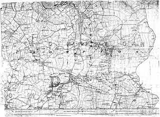
Image: Old-crompton-map-1851
Size of this preview: 800 × 584 pixels. Other resolutions: 320 × 234 pixels | 1,906 × 1,392 pixels.
Original image (1,906 × 1,392 pixels, file size: 1.82 MB, MIME type: image/jpeg)
Description: The 1851 Ordance Survey map of Crompton, then in Lancashire (now Greater Manchester), England.
Title: Old-crompton-map-1851
Credit: Transferred from en.wikipedia to Commons by Jza84.
Author: The original uploader was Jza84 at English Wikipedia
Usage Terms: Public domain
License: Public domain
Attribution Required?: No
Image usage
The following page links to this image:

All content from Kiddle encyclopedia articles (including the article images and facts) can be freely used under Attribution-ShareAlike license, unless stated otherwise.