
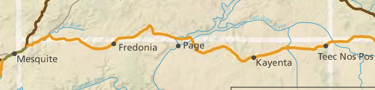
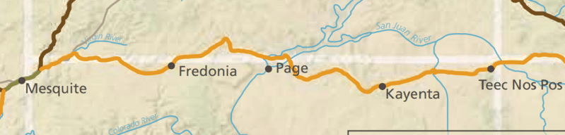
Image: Old Spanish Trail - Armijo Route through southern Utah and northern Arizona, National Park Service (map detail)
Size of this preview: 799 × 192 pixels. Other resolutions: 320 × 77 pixels | 1,235 × 297 pixels.
Original image (1,235 × 297 pixels, file size: 183 KB, MIME type: image/png)
Description: Old Spanish Trail - Armijo Route through southern Utah and northern Arizona, National Park Service (map detail). Orange=Armijo Route. Brown=Northern Route. Olive=Mojave Road
Title: Old Spanish Trail - Armijo Route through southern Utah and northern Arizona, National Park Service (map detail)
Credit: U.S. National Park Service, https://www.nps.gov/olsp/planyourvisit/publications.htm
Author: U.S. National Park Service
Usage Terms: Public domain
License: Public domain
Attribution Required?: No
Image usage
The following page links to this image:

All content from Kiddle encyclopedia articles (including the article images and facts) can be freely used under Attribution-ShareAlike license, unless stated otherwise.
.png)