
Image: Old Spanish Trail - Early Exploration Routes in southern Utah and northern Arizona (map)
No higher resolution available.
Old_Spanish_Trail_-_Early_Exploration_Routes_in_southern_Utah_and_northern_Arizona_(map).png (712 × 559 pixels, file size: 53 KB, MIME type: image/png)
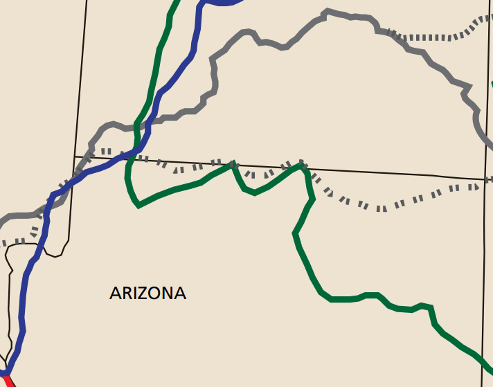
Description: Old Spanish Trail early exploration routes in southern Utah and northern Arizona (map detail). Green=Dominguez-Escalante, 1776-1777. Blue=Jedediah Smith, 1826-1827. Double-Dashed=Armijo Route, 1829. Brown=Northern Route, 1831. Dashed=North Branch, 1848.
Title: Old Spanish Trail - Early Exploration Routes in southern Utah and northern Arizona (map)
Credit: U.S. National Park Service, https://www.nps.gov/olsp/planyourvisit/publications.htm
Author: U.S. National Park Service
Usage Terms: Public domain
License: Public domain
Attribution Required?: No
Image usage
The following page links to this image:

All content from Kiddle encyclopedia articles (including the article images and facts) can be freely used under Attribution-ShareAlike license, unless stated otherwise.
.png)