
Image: Olney's 1844 School Map
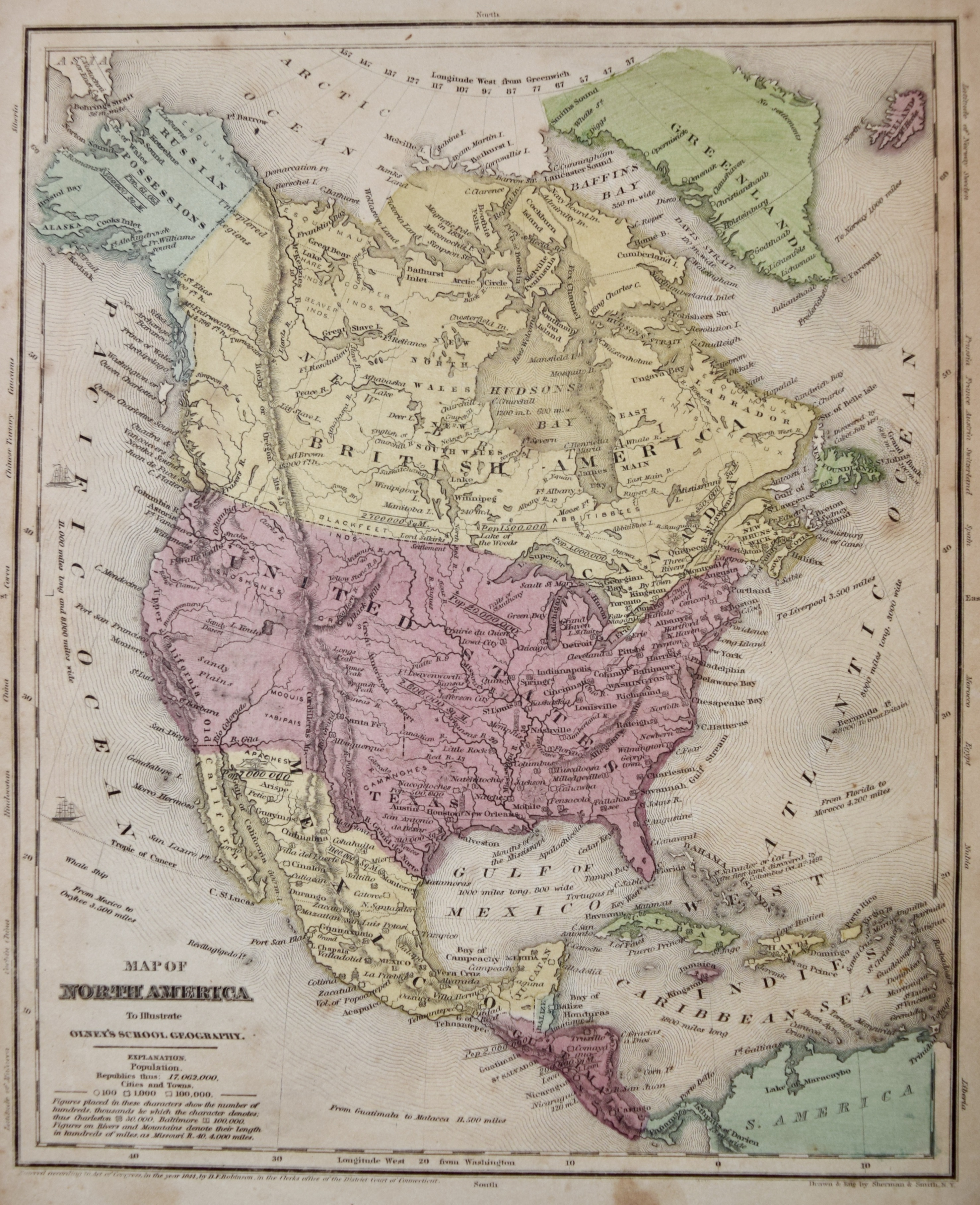
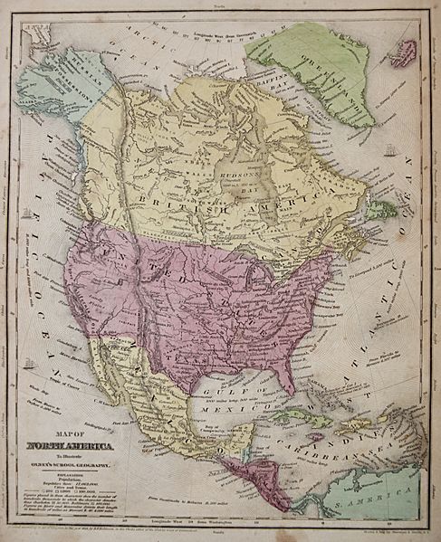
Size of this preview: 487 × 599 pixels. Other resolutions: 195 × 240 pixels | 2,954 × 3,633 pixels.
Original image (2,954 × 3,633 pixels, file size: 2.62 MB, MIME type: image/jpeg)
Description: A map of North America, 1844 before the American Civil War, split of the Federal Republic of Central America. Taken from Map taken from a book of maps Olney's School Geography.
Title: Olney's 1844 School Map
Credit: Olney's School Geography, 1844
Author: D.F. Robinson, Olney's
Usage Terms: Public domain
License: Public domain
Attribution Required?: No
Image usage
The following 2 pages link to this image:

All content from Kiddle encyclopedia articles (including the article images and facts) can be freely used under Attribution-ShareAlike license, unless stated otherwise.