
Image: Original Lycoming County Pennsylvania Map
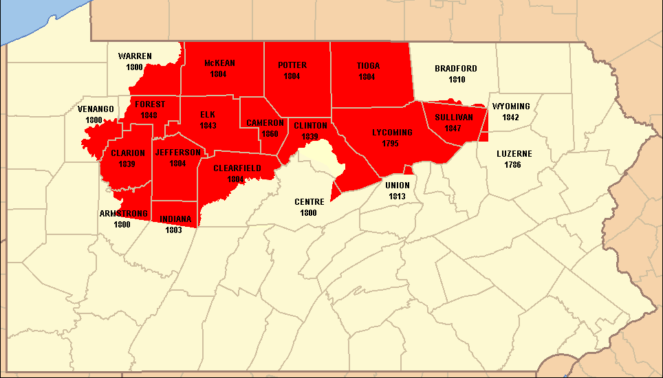
Description: Map of the original territory of Lycoming County, Pennsylvania, United States as of January 1800.
Title: Original Lycoming County Pennsylvania Map
Credit: base map taken from US Census website [1] and modified by User:Ruhrfisch, information on county borders taken from Godcharles, Frederic A. (1933). Pennsylvania: Political, Governmental, Military and Civil: Political and Civil History Volume, First edition, New York, New York: The American Historical Society.
Author: US Census, Ruhrfisch
Permission: US Census / US Government work is public domain, my modifications licensed under the GNU Free Documentation License
Usage Terms: Public domain
License: Public domain
Attribution Required?: No
Image usage
The following page links to this image:
