
Image: Orkney Islands UK location map

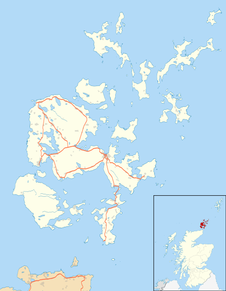
Description: Blank map of the Orkney Islands (excluding Sule Stack and Sule Skerry), UK with the following information shown: Administrative borders Coastline, lakes and rivers Roads and railways Urban areas Equirectangular map projection on WGS 84 datum, with N/S stretched 180% Geographic limits: West: 3.50W East: 2.35W North: 59.42N South: 58.60N
Title: Orkney Islands UK location map
Credit: Ordnance Survey OpenData. Administrative borders and coastline data from Boundary-Line product. All other geographic data from Meridian 2 product. Inset derived from Inset derived from File:Scotland location map.svg by NordNordWest.
Author: Nilfanion, created using Ordnance Survey data
Permission: This file is licensed under the Creative Commons Attribution-Share Alike 3.0 Unported license. Attribution: Contains Ordnance Survey data © Crown copyright and database right You are free: to share – to copy, distribute and transmit the work to remix – to adapt the work Under the following conditions: attribution – You must give appropriate credit, provide a link to the license, and indicate if changes were made. You may do so in any reasonable manner, but not in any way that suggests the licensor endorses you or your use. share alike – If you remix, transform, or build upon the material, you must distribute your contributions under the same or compatible license as the original. https://creativecommons.org/licenses/by-sa/3.0 CC BY-SA 3.0 Creative Commons Attribution-Share Alike 3.0 truetrue
Usage Terms: Creative Commons Attribution-Share Alike 3.0
License: CC BY-SA 3.0
License Link: https://creativecommons.org/licenses/by-sa/3.0
Attribution Required?: Yes
Image usage
The following 52 pages link to this image:
- Ancumtoun
- Backaland
- Balfour, Orkney
- Barnhouse Settlement
- Braeside chambered cairn
- Braeswick
- Brims
- Brinian
- Broch of Borwick
- Broch of Burrian
- Broch of Gurness
- Broughtown
- Burroughston Broch
- Burwick, Orkney
- Bustatoun
- Cuween Hill Chambered Cairn
- Dounby
- Evie, Orkney
- Finstown
- Hackness Martello Tower and Battery
- Herston, Orkney
- Houton
- Hoxa, Orkney
- Huntersquoy chambered cairn
- Kirkwall
- Kirkwall Airport
- Longhope, Orkney
- Lyness
- Midhowe Broch
- Ness of Brodgar
- Odness
- Pierowall
- Quanterness chambered cairn
- Quoyness chambered cairn
- RNAS Caldale
- Ring of Brodgar
- Skara Brae
- St Magnus Cathedral
- St Margaret's Hope
- Stenness
- Stone of Setter
- Stones of Stenness
- Tankerness
- Taversöe Tuick
- Toab, Orkney
- Twatt, Orkney
- Unstan Chambered Cairn
- Vinquoy chambered cairn
- Voy
- Wheebin standing stone
- Whitehall, Orkney
- Wideford Hill chambered cairn
