
Image: OttomanEmpireIn1683
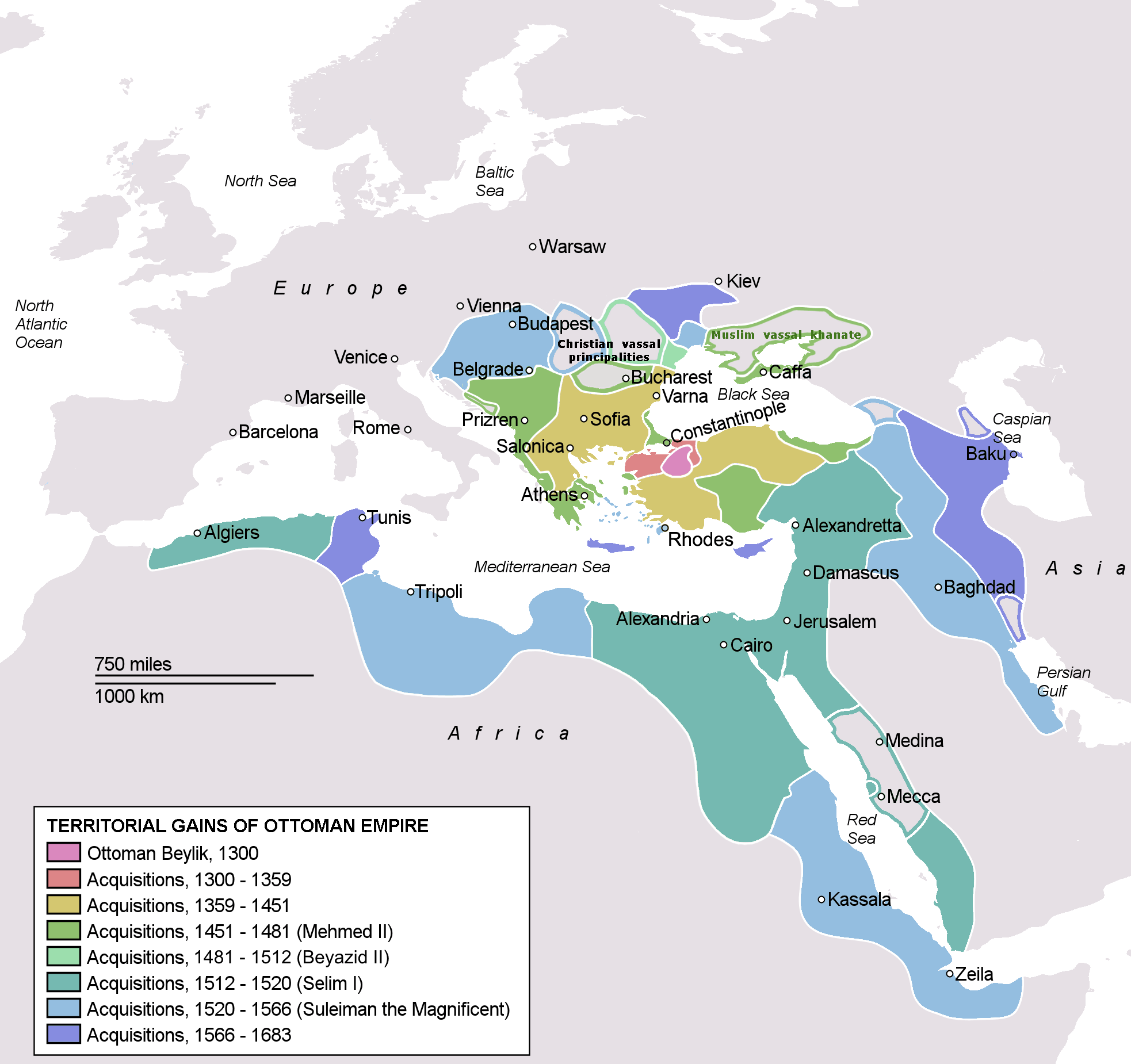
Description: Map depicting the Ottoman Empire at its greatest extent, in 1683.
Title: OttomanEmpireIn1683
Credit: Self drawn, mainly based on Robert Mantran (ed.), Histoire de l'Empire Ottoman, Paris: Fayard (1989), also en:List of Ottoman Empire dominated territories, Image:Ottoman 1683.png, [1], and [2]. Background map modified from Image:A large blank world map with oceans marked in blue.svg. The factual accuracy of this description or the file name is disputed. Reason: Please see the relevant discussion on the talk page.
Author: Atilim Gunes Baydin
Permission: I, the copyright holder of this work, release this work into the public domain. This applies worldwide. In some countries this may not be legally possible; if so: I grant anyone the right to use this work for any purpose, without any conditions, unless such conditions are required by law.
Usage Terms: Public domain
License: Public domain
Attribution Required?: No
Image usage
The following 4 pages link to this image:
