
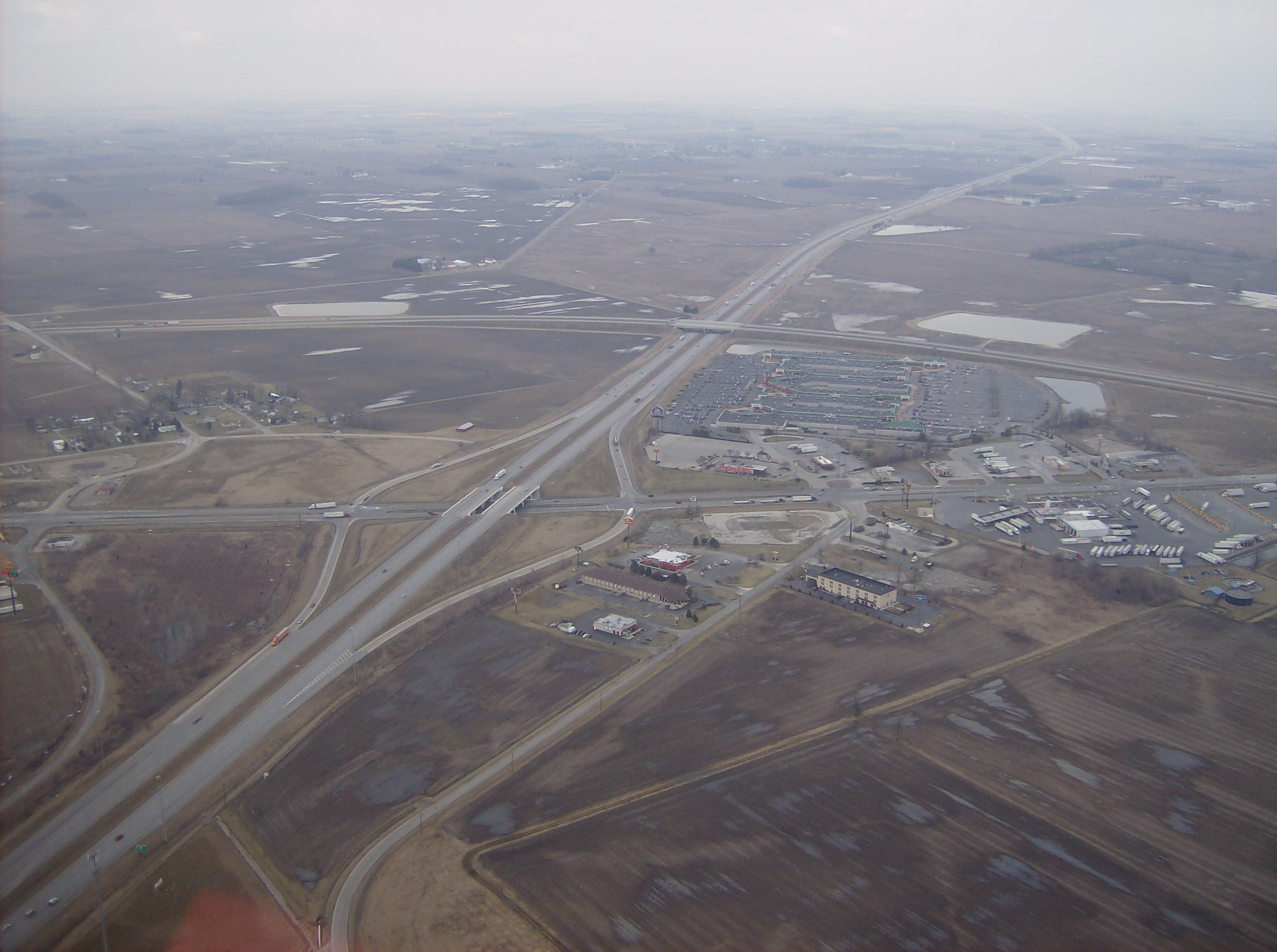
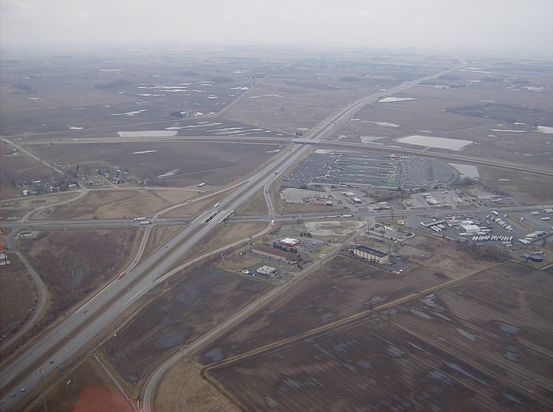
Image: Overview of West Lancaster
Description: Aerial view of West Lancaster, a community in southern Jefferson Township, Fayette County, Ohio, United States. The village of Octa lies primarily just off the bottom edge of the picture, although its village limits extend along the road that appears from the picture's bottom edge. Picture taken from a Diamond Eclipse light airplane at an altitude of 2,500 feet MSL at an bearing of approximately 5º. The interchange is Interstate 71 over State Route 435, and the divided highway's overpass in the background is U.S. Route 35 passing over the interstate.
Title: Overview of West Lancaster
Credit: Own work
Author: Nyttend
Permission: I, the copyright holder of this work, release this work into the public domain. This applies worldwide. In some countries this may not be legally possible; if so: I grant anyone the right to use this work for any purpose, without any conditions, unless such conditions are required by law.
Usage Terms: Public domain
License: Public domain
Attribution Required?: No
Image usage
The following page links to this image:
