
Image: Oyster Bay National Wildlife Refuge aerial
Size of this preview: 350 × 600 pixels. Other resolutions: 140 × 240 pixels | 1,420 × 2,434 pixels.
Original image (1,420 × 2,434 pixels, file size: 625 KB, MIME type: image/jpeg)
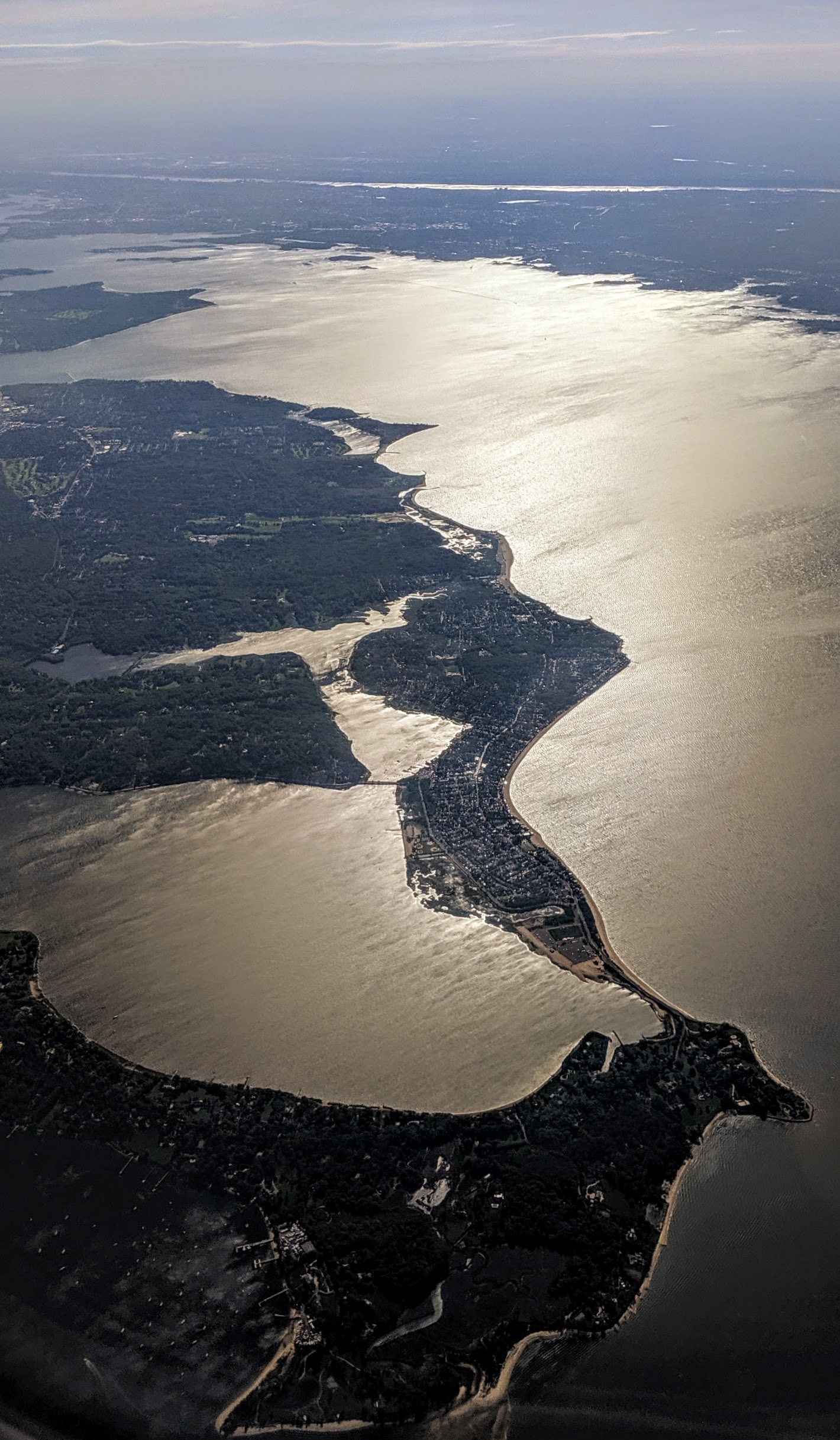
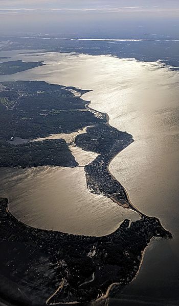
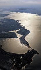
Description: Aerial view from the east of Oyster Bay National Wildlife Refuge, which includes part of Oyster bay (bottom right), most of West Harbor (near left) and Mill Neck Creek (beyond the bridge) and the wetlands behind Fox Point (just beyond). The larger body of water is Long Island Sound.
Title: Oyster Bay National Wildlife Refuge aerial
Credit: Own work
Author: Dicklyon
Usage Terms: Creative Commons Attribution-Share Alike 4.0
License: CC BY-SA 4.0
License Link: https://creativecommons.org/licenses/by-sa/4.0
Attribution Required?: Yes
Image usage
The following page links to this image:

All content from Kiddle encyclopedia articles (including the article images and facts) can be freely used under Attribution-ShareAlike license, unless stated otherwise.