
Image: Pacific Ocean laea location map

Size of this PNG preview of this SVG file: 659 × 600 pixels. Other resolution: 264 × 240 pixels.
Original image (SVG file, nominally 709 × 645 pixels, file size: 217 KB)
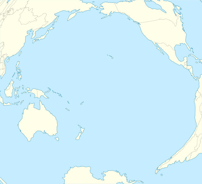
Description: Location map of Pacific Ocean. Projection: Lambert azimuthal equal-area projection. Area of interest: N: 60.0° N S: -80.0° N W: -260.0° E E: -70.0° E Projection center: NS: -10.0° N WE: -165.0° E GMT projection: -JA-165.0/-10.0/180/19.998266666666666c GMT region: -R-320.2519138145009/-12.459450078533589/-5.473602099069988/26.40516525873812r Land and shoreline: 1:110m Natural Earth Datasets, borders 1:50m
Title: Pacific Ocean laea location map
Credit: Own work
Author: Tentotwo
Usage Terms: Creative Commons Attribution-Share Alike 3.0
License: CC BY-SA 3.0
License Link: http://creativecommons.org/licenses/by-sa/3.0
Attribution Required?: Yes
Image usage
The following 45 pages link to this image:
- Atafu
- Atiu
- Banc Capel
- Butaritari
- Chatham Islands / Tuuta Airport
- Chevron Reef
- Darwin's Arch
- Darwin Island
- Diego de Almagro Island
- Ducie Island
- East Island, Hawaii
- Flint Island
- Hanga Roa
- Havre Seamount
- Laysan
- Lisianski Island
- Lord Howe Seamount Chain
- Makin (atoll)
- Mangaia
- Marpi Reef
- Midway Atoll
- Monowai (seamount)
- Naples Reef
- Ngulu Atoll
- Nihoa
- Northwestern Hawaiian Islands
- Nukunonu
- Oeno Island
- Palm Circle
- Pearl and Hermes Atoll
- Perseverance Harbour
- Piti Bomb Holes Marine Preserve
- Pukapuka
- Rarotonga
- Rose Atoll
- Sandy Island, New Caledonia
- Sikaiana
- Society Islands
- Sorol
- Starbuck Island
- Suwarrow
- Tasmantid Seamount Chain
- Tinian
- Tumon Bay
- Template:Location map Pacific Ocean

All content from Kiddle encyclopedia articles (including the article images and facts) can be freely used under Attribution-ShareAlike license, unless stated otherwise.