
Image: Paris department land cover location map

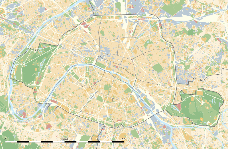
Description: Blank land cover map of the city and department of Paris, France, as in January 2012, for geo-location purpose, with distinct boundaries for departments and arrondissements.
Title: Blank land cover map of the city and department of Paris, France
Credit: Own work Sources of data: Modes d'Occupation du Sol (MOS) from the Institut d'Aménagement et d'urbanisme de l'Île-de-France (Open Database licence), 2012-01 data; Boundaries from the Institut d'Aménagement et d'urbanisme de l'Île-de-France (Open Database licence), 2011-01 data.
Author: Eric Gaba
Permission: Attribution and Share-Alike required Any use of this map can be made as long as you credit me (Eric Gaba – Wikimedia Commons user: Sting) as the author and distribute the copies and derivative works under the same license(s) that the one(s) stated below. A message with a reply address would also be greatly appreciated.
Usage Terms: Creative Commons Attribution-Share Alike 3.0
License: CC BY-SA 3.0
License Link: https://creativecommons.org/licenses/by-sa/3.0
Attribution Required?: Yes
Image usage
The following 5 pages link to this image:
