
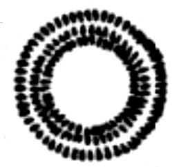
Image: Plan of Hales Castle
No higher resolution available.
Plan_of_Hales_Castle.jpg (259 × 241 pixels, file size: 10 KB, MIME type: image/jpeg)
Description: Map of earthworks at Roddenbury Camp, Somerset, England.
Title: Plan of Hales Castle
Credit: Roddenbury_Camp_Somerset_Map.jpg
Author: Roddenbury_Camp_Somerset_Map.jpg: Editor - W.Page; Chapter on Ancient Earthworks - C.H.Bothamley derivative work: Hchc2009 (talk)
Usage Terms: Public domain
License: Public domain
Attribution Required?: No
Image usage
The following 2 pages link to this image:

All content from Kiddle encyclopedia articles (including the article images and facts) can be freely used under Attribution-ShareAlike license, unless stated otherwise.