
Image: Point Conception, California, 1869 (map by C. Rockwell)
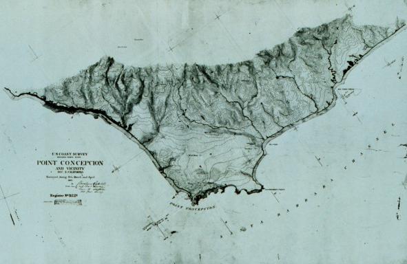
Description: Map of Point Conception — a major headland on the Southern California Coast. Located in Santa Barbara County, California. Surveyed by Cleveland S. Rockwell; United States Coastal Survey, Topographic Survey T-1122a, 1869
Title: Point Conception, California, 1869 (map by C. Rockwell)
Credit: National Oceanic and Atmospheric Administration (NOAA), NOAA Photo Library, Historic Coast & Geodetic Survey Collection, theb1069; http://usasearch.gov/search?v%3aproject=firstgov-noaa-images&v%3afile=viv_1137%4022%3aUO9IOn&v%3aframe=viewimage&v%3astate=%28root%29%7croot&id=Ndoc4&rpaid=&
Author: Cleveland S. Rockwell, United States Coastal Survey
Permission: Public Domain
Usage Terms: Public domain
License: Public domain
Attribution Required?: No
Image usage
The following page links to this image:

.jpg)