
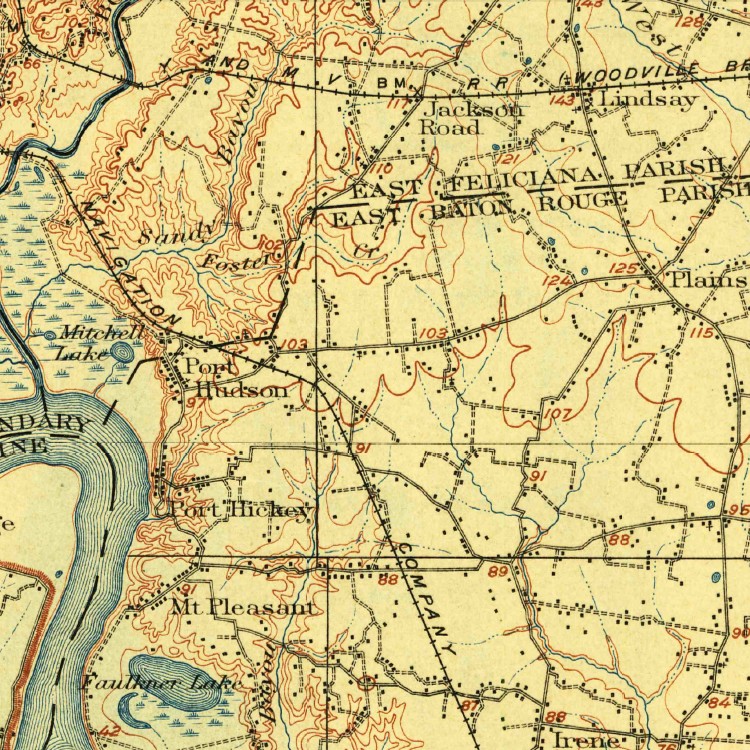
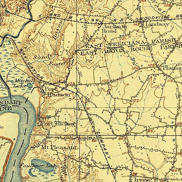
Image: Port-Hudson-LA-1906-USGS-Topographic-Map
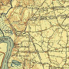
Size of this preview: 600 × 600 pixels. Other resolutions: 240 × 240 pixels | 750 × 750 pixels.
Original image (750 × 750 pixels, file size: 278 KB, MIME type: image/jpeg)
Description: Port Hudson, Louisiana and vicinity. Cropped from Bayou Sara Quadrangle, USGS Historical Topographic Map Collection, August 1906 Edition. Scaled to 1 inch = 1 mile.
Title: Port-Hudson-LA-1906-USGS-Topographic-Map
Credit: United States Geological Survey
Author: United States Geological Survey
Usage Terms: Public domain
License: Public domain
Attribution Required?: No
Image usage
The following page links to this image:

All content from Kiddle encyclopedia articles (including the article images and facts) can be freely used under Attribution-ShareAlike license, unless stated otherwise.