
Image: Port Adelaide aerial view
Size of this preview: 800 × 533 pixels. Other resolutions: 320 × 213 pixels | 3,264 × 2,176 pixels.
Original image (3,264 × 2,176 pixels, file size: 1.48 MB, MIME type: image/jpeg)
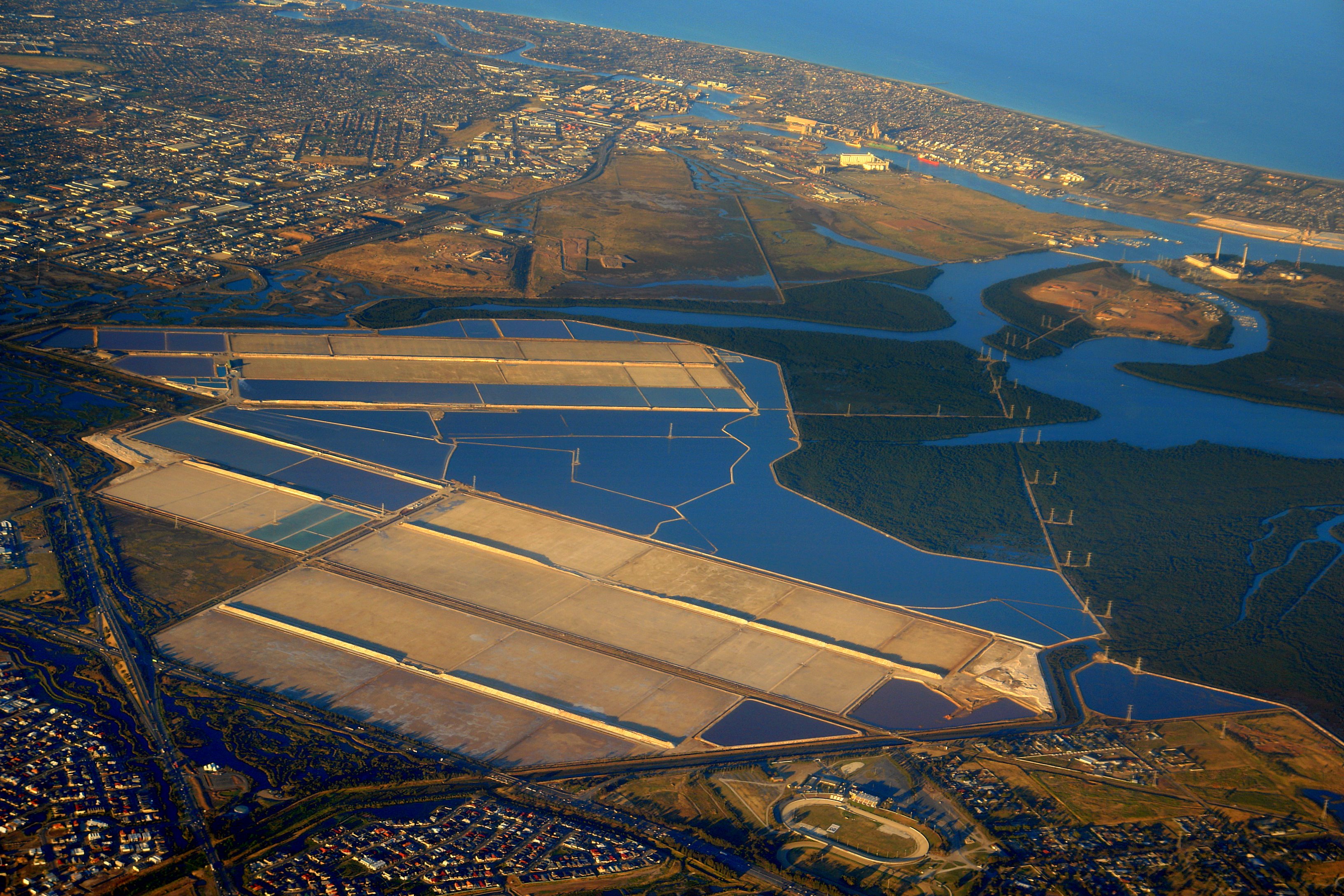
Description: Aerial view looking WSW of part of the Port River area, showing the Globe Derby Park Trotting track, some of Mawson Lakes, the Dry Creek salt pans, Garden Island, Torrens Island (including the power station, Quarantine Station, and Concentration Camp), Gillman, some of the Lefevre Peninsula, and some of Port Adelaide
Title: Port Adelaide aerial view
Credit: Flickr
Author: Gary Sauer-Thompson
Usage Terms: Creative Commons Attribution-Share Alike 2.0
License: CC BY-SA 2.0
License Link: http://creativecommons.org/licenses/by-sa/2.0
Attribution Required?: Yes
Image usage
The following 9 pages link to this image:

All content from Kiddle encyclopedia articles (including the article images and facts) can be freely used under Attribution-ShareAlike license, unless stated otherwise.