
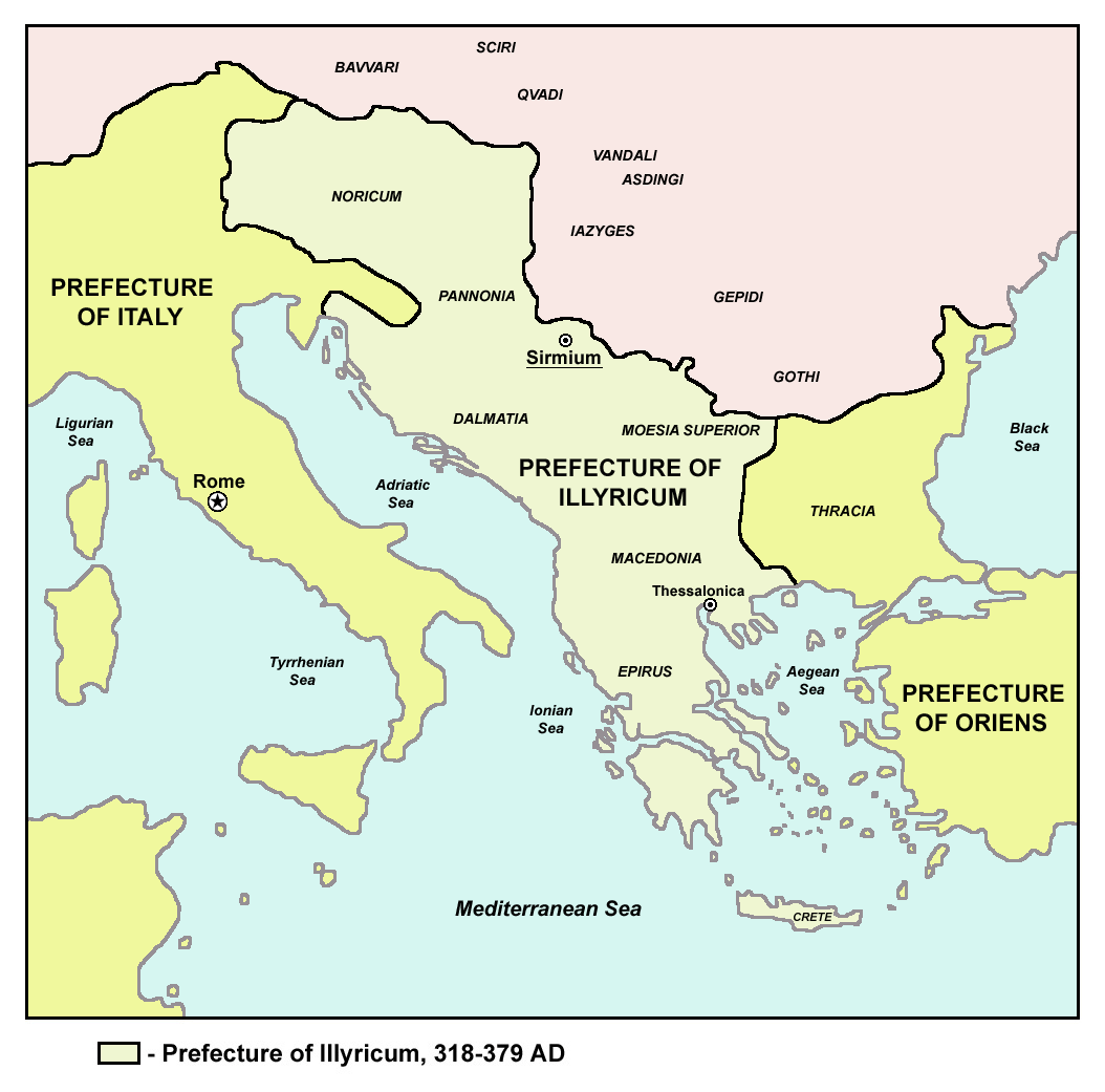
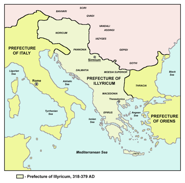
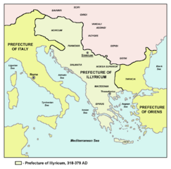
Image: Prefecture of Illyricum map
Size of this preview: 607 × 600 pixels. Other resolutions: 243 × 240 pixels | 1,054 × 1,041 pixels.
Original image (1,054 × 1,041 pixels, file size: 103 KB, MIME type: image/png)
Description: Historic map of Roman Praetorian Prefecture of Illyricum, 318-379 AD.
Title: Prefecture of Illyricum map
Credit: Transferred from en.wikipedia to Commons.: en:sr:Слика:Prefecture.png
Author: The original uploader was PANONIAN at English Wikipedia
Usage Terms: Public domain
License: Public domain
Attribution Required?: No
Image usage
There are no pages that link to this image.

All content from Kiddle encyclopedia articles (including the article images and facts) can be freely used under Attribution-ShareAlike license, unless stated otherwise.