
Image: PresidioAndNewCounties1888
Size of this preview: 455 × 600 pixels. Other resolutions: 182 × 240 pixels | 2,309 × 3,043 pixels.
Original image (2,309 × 3,043 pixels, file size: 4.64 MB, MIME type: image/jpeg)
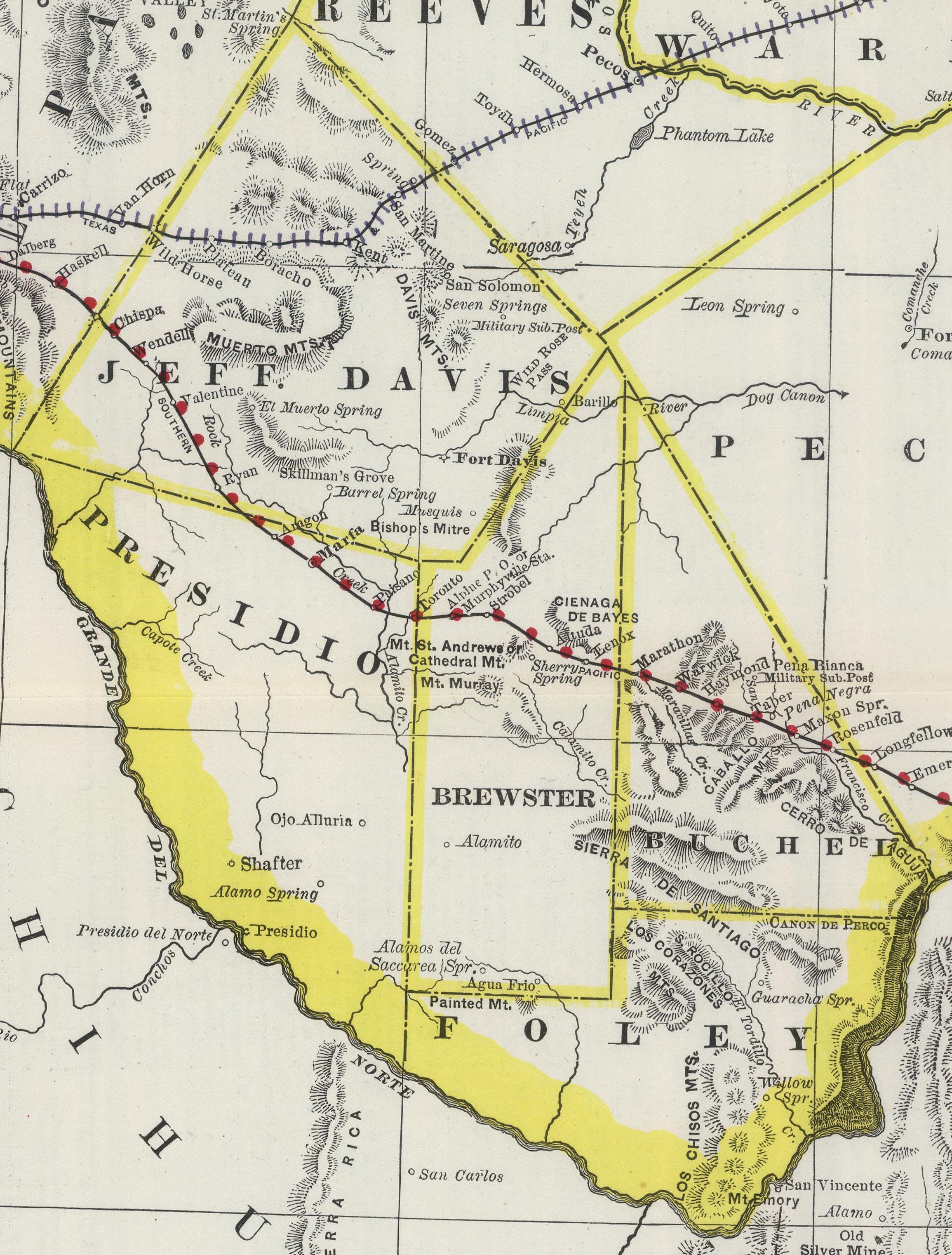
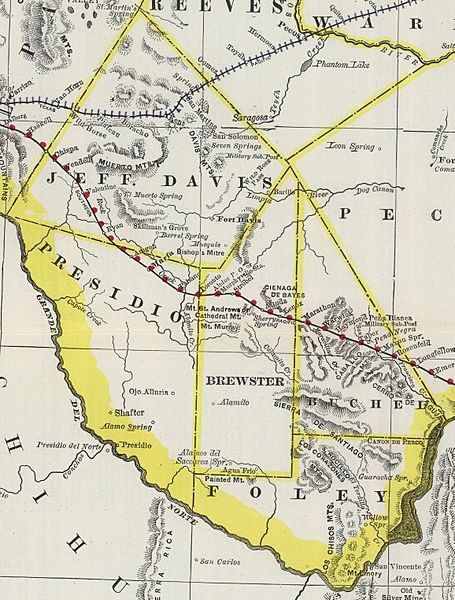
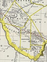
Description: Map of Presidio County, Texas and the counties of Brewster, Buchel, Foley, and Jeff Davis created from Presidio in 1887. This map conforms with the boundary descriptions of the legislation creating the new counties.
Title: PresidioAndNewCounties1888
Credit: http://www.davidrumsey.com/luna/servlet/detail/RUMSEY~8~1~37435~1210309:Western-Texas-?sort=Pub_List_No_InitialSort%2CPub_Date%2CPub_List_No%2CSeries_No#
Author: Rand McNally and Company
Usage Terms: Public domain
License: Public domain
Attribution Required?: No
Image usage
The following 4 pages link to this image:

All content from Kiddle encyclopedia articles (including the article images and facts) can be freely used under Attribution-ShareAlike license, unless stated otherwise.