
Image: Puszcza Białowieska - orientacyjne położenie
Size of this preview: 617 × 600 pixels. Other resolutions: 247 × 240 pixels | 1,000 × 972 pixels.
Original image (1,000 × 972 pixels, file size: 579 KB, MIME type: image/png)
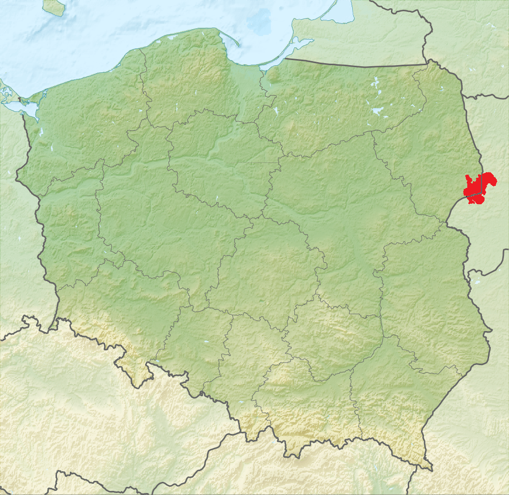
Description: Approximate range of compact stands of the Białowieża Forest on the border of Poland and Belarus (Range of Białowieża Forest). Based on: Marcin Kozieł. Protection of natural and landscape values in the Polish-Belarusian borderland on the example of the Białowieża Primeval Forest. "Problems of Landscape Ecology". Vol. XXVI, pp. 271-284. 2010, and maps of the Natura 2000 area "Puszcza Białowieska" (PLC200004).
Title: Puszcza Białowieska - orientacyjne położenie
Credit: Own work
Author: Pełnik
Usage Terms: Creative Commons Attribution-Share Alike 3.0
License: CC BY-SA 3.0
License Link: https://creativecommons.org/licenses/by-sa/3.0
Attribution Required?: Yes
Image usage
The following page links to this image:

All content from Kiddle encyclopedia articles (including the article images and facts) can be freely used under Attribution-ShareAlike license, unless stated otherwise.