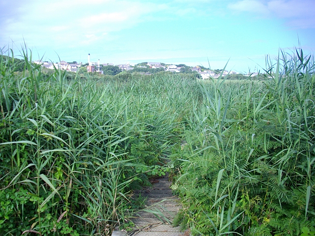
Image: Reed Beds, Lower Moors, St. Mary's - geograph.org.uk - 931543
Reed_Beds,_Lower_Moors,_St._Mary's_-_geograph.org.uk_-_931543.jpg (640 × 480 pixels, file size: 335 KB, MIME type: image/jpeg)
Description: Reed Beds, Lower Moors, St. Mary's On the Lower Moors Nature Trail between Telegraph Road and Old Town. The trail leads through a wetland of Sallow Thicket. Reed bed and wet pasture. The raised path gives views across the largest Reed bed on St Mary's. In the distance is the built up area on the eastern edge of Hugh Town with the landmark chimneys of the incinerator and the power station clearly visible.
Title: Reed Beds, Lower Moors, St. Mary's - geograph.org.uk - 931543
Credit: From geograph.org.uk
Author: Bob Embleton
Usage Terms: Creative Commons Attribution-Share Alike 2.0
License: CC BY-SA 2.0
License Link: https://creativecommons.org/licenses/by-sa/2.0
Attribution Required?: Yes
Image usage
The following page links to this image:

All content from Kiddle encyclopedia articles (including the article images and facts) can be freely used under Attribution-ShareAlike license, unless stated otherwise.

