
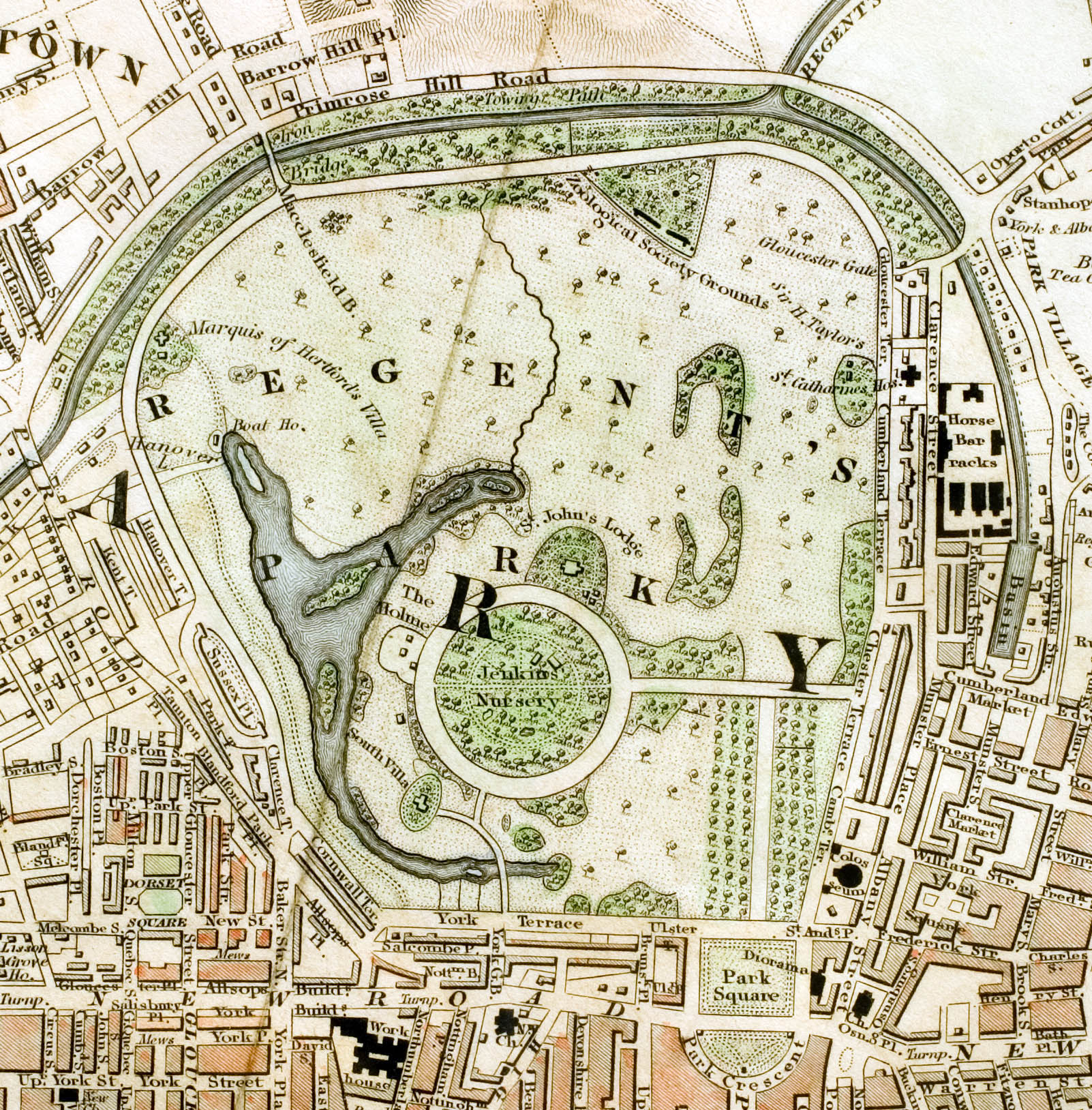
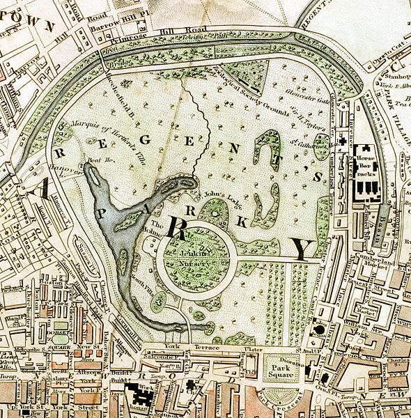
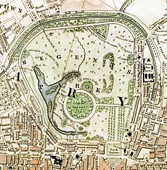
Image: Regent's Park London from 1833 Schmollinger map
Size of this preview: 590 × 600 pixels. Other resolutions: 236 × 240 pixels | 1,602 × 1,628 pixels.
Original image (1,602 × 1,628 pixels, file size: 801 KB, MIME type: image/jpeg)
Description: Regent's Park section of "Improved map of London for 1833, from Actual Survey. Engraved by W. Schmollinger, 27 Goswell Terrace", photographed for Wikipedia by User:Pointillist. All rights of the photographer are hereby released. The grey fold mark represents the vertical orientation of the original map.
Title: Regent's Park London from 1833 Schmollinger map
Credit: Improved map of London
Author: W. Schmollinger
Usage Terms: Public domain
License: Public domain
Attribution Required?: No
Image usage
The following 2 pages link to this image:

All content from Kiddle encyclopedia articles (including the article images and facts) can be freely used under Attribution-ShareAlike license, unless stated otherwise.