
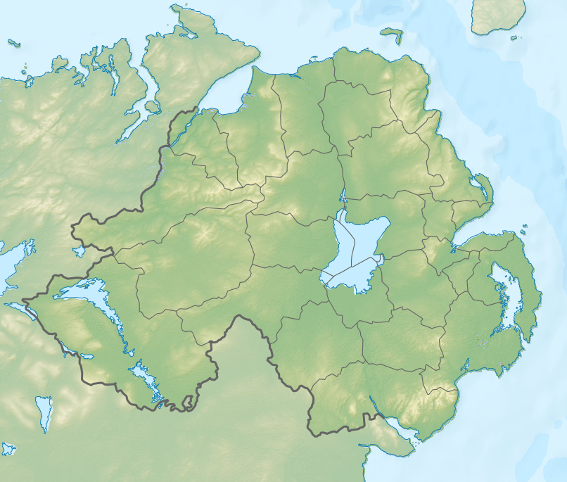
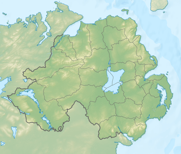
Image: Relief Map of Northern Ireland
Size of this preview: 705 × 599 pixels. Other resolutions: 282 × 240 pixels | 806 × 685 pixels.
Original image (806 × 685 pixels, file size: 689 KB, MIME type: image/png)
Description: Relief map of Northern Ireland. Projection: Mercator Geographic limits of the map: W: 8.3° W E: 5.3° W S: 53.9° N N: 55.4° N
Title: Relief Map of Northern Ireland
Credit: SRTM3 for relief ETOPO1 for bathymetry File:Northern Ireland location map.svg for borders and coastline; by NordNordWest Own work using Created with Generic Mapping Tools (GMT) This vector image was created with Inkscape.
Author: Nzeemin
Usage Terms: Creative Commons Attribution-Share Alike 3.0
License: CC BY-SA 3.0
License Link: http://creativecommons.org/licenses/by-sa/3.0
Attribution Required?: Yes
Image usage
The following 63 pages link to this image:
- 1982 Divis Flats bombing
- 1988 British Army Lynx shootdown
- 1990 Armagh City roadside bomb
- 1990 British Army Gazelle shootdown
- 1990 Lough Neagh ambush
- 1991 Cappagh killings
- 1994 British Army Lynx shootdown
- Annalong Forest
- Attack on RUC Birches barracks
- Ballygawley bus bombing
- Ballygawley land mine attack
- Ballysaggart Lough
- Ballysallagh Forest
- Belmore Mountain
- Ben Crom
- Benbradagh
- Binevenagh
- Black Mountain (Belfast)
- Bohill Forest
- Castleward Forest
- Castlewellan Forest Park
- Cuilcagh
- Donard Forest
- Downpatrick landmine attack
- Drumkeeragh Forest
- Forkhill beer keg bombing
- Glenanne barracks bombing
- Gray's char
- Hillsborough Forest
- Kingsmill massacre
- Lisburn van bombing
- Lough Beg
- Lough Erne
- Lough Gullion
- Malone Golf Club
- Millstone Mountain
- Mourne Mountains
- Mullaghcarn
- Musgrave Park Hospital bombing
- Narrow Water Forest
- Occupation of Cullaville
- Portbraddon Cave
- Portmore Lough
- Provisional IRA Honey Trap killings
- RFA Fort Victoria bombing
- Rostrevor Forest
- Sawel Mountain
- Scawt Hill
- Slemish
- Sliabh Beagh
- Slieve Bearnagh
- Slieve Croob
- Slieve Donard
- Slieve Gallion
- Slieve Gullion
- Slieve Muck
- Teebane bombing
- The Store Bar shooting
- Thiepval barracks bombing
- Tollymore Forest Park
- Trostan
- Waterloo Bay
- Template:Location map Northern Ireland

All content from Kiddle encyclopedia articles (including the article images and facts) can be freely used under Attribution-ShareAlike license, unless stated otherwise.