
Image: Relief map of USA Massachusetts
No higher resolution available.
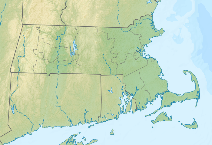
Relief_map_of_USA_Massachusetts.png (700 × 478 pixels, file size: 487 KB, MIME type: image/png)
Description: Relief map of Massachusetts, USA
Title: Relief map of USA Massachusetts
Credit: SRTM3 for relief ETOPO1 for bathymetry File:USA Massachusetts location map.svg for borders, rivers and coastline; by Alexrk2, GFDL/CC-BY-3.0 Own work using [[File:|32x20px]] This map was created with GMT. This PNG graphic was created with Inkscape.
Author: Nzeemin
Usage Terms: Creative Commons Attribution-Share Alike 3.0
License: CC BY-SA 3.0
License Link: https://creativecommons.org/licenses/by-sa/3.0
Attribution Required?: Yes
Image usage
More than 100 pages link to this image. The following list shows the first 100 page links to this image only. A full list is available.
- Abel Hill
- Avery Hill (Massachusetts)
- Barrier Dunes
- Berkshire East Ski Resort
- Big Pond (Massachusetts)
- Black Ball Hill
- Boston & Roxbury Mill Dam
- Brockton, Massachusetts
- Browning Pond
- Bullough's Pond
- Campus Pond (Amherst, Massachusetts)
- Cannon Hill (Chatham, Massachusetts)
- Cannon Hill (Wellfleet, Massachusetts)
- Cape Ann
- Clay Hill (Massachusetts)
- Clay Pit Pond
- Cobbs Hill
- Corn Hill (Massachusetts)
- Crystal Lake (Newton, Massachusetts)
- Deer Horn Hill
- Discovery Hill (Sagamore, Massachusetts)
- Discovery Hill (Sandwich, Massachusetts)
- Dug Pond
- Edgartown, Massachusetts
- Elephantback Hill
- Fairyland Pond
- Faunces Mountain
- Flatrock Hill
- Follins Pond
- Fort Hill (Massachusetts)
- Fresh Pond (Cambridge, Massachusetts)
- Fresh Pond (Plymouth, Massachusetts)
- Grassy Nook
- Great Beach Hill
- Great Hill (Massachusetts)
- Green Hill (Massachusetts)
- Griffin Island
- Gross Hill (Massachusetts)
- Haggetts Pond
- Hickory Hills Lake (Lunenburg, Massachusetts)
- High Pole Hill
- Hocomonco Pond
- Hokum Rock
- Holyoke Dam
- Houghton's Pond
- Island Pond (Cedarville, Massachusetts)
- Island Pond (Plymouth, Massachusetts)
- Jiminy Peak (ski area)
- Katama Airpark
- Lake Ashmere
- Lake Boon
- Lake Buel
- Lake Cochichewick
- Lake Cochituate
- Lake Lashaway
- Lake Massapoag
- Lake Onota
- Lake Quannapowitt
- Lake Quinsigamond
- Lake Sabbatia
- Lake Wyola
- Little Beach Hill
- Long Pond (Lakeville, Massachusetts)
- Long Pond (West Yarmouth, Massachusetts)
- Mandela, Massachusetts
- Martha's Vineyard
- Martha's Vineyard Airport
- Mill Hill (Barnstable County, Massachusetts)
- Mill Hill (Massachusetts)
- Millers Hill
- Miscoe Lake
- Moss Hill (Massachusetts)
- Mount Ararat (Massachusetts)
- Mount Cary
- Mount Fray
- Mount Gilboa (Massachusetts)
- Mount Greylock
- Mount Sod
- Mount Surat
- Mount Wachusett
- Mystic Lakes (Boston)
- Nantucket
- Nauset Beach Dunes
- Neponset Reservoir
- New Bedford Whaling National Historical Park
- Nobska Hill
- Oak Head
- Ocean View Hill
- Otis Reservoir
- Peaked Hill (Massachusetts)
- Peters Hill (Massachusetts)
- Pilot Hill (Massachusetts)
- Plymouth, Massachusetts
- Pocumtuck Mountain
- Poppy Mountain
- Prospect Hill (Barnstable County, Massachusetts)
- Prospect Hill (Massachusetts)
- Provincetown, Massachusetts
- Quabbin Reservoir
- Quaboag Pond

All content from Kiddle encyclopedia articles (including the article images and facts) can be freely used under Attribution-ShareAlike license, unless stated otherwise.