
Image: Reneshua river-1778
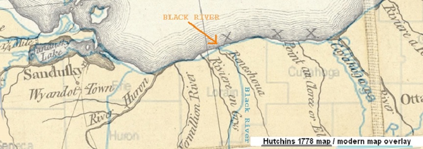
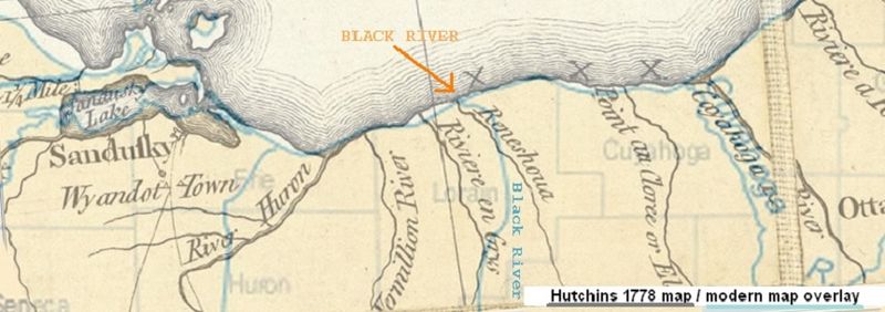
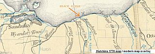
Description: A section of Hutchins 1778 map, with an overlaid image of 20th century survey lines. The "Reneshoua" River matches the location of the Black River. (Notice how Hutchins surveyed the Lake Erie shore and mouths of the rivers fairly accurately; although the inland courses of the rivers were very roughly drawn. The "Riviere en Grys" would correspond to what is now named Beaver Creek. The "X X X" marked along the shoreline, designated the dangerous high cliffs that extend all along that stretch of shore. "Sandusky" refers to the British Fort Sandusky, not the village of Sandusky, which didn't exist until about 1820.)
Title: Reneshua river-1778
Credit: 1778 map
Author: Hutchins
Usage Terms: Public domain
License: Public domain
Attribution Required?: No
Image usage
The following page links to this image:
