
Image: RepublicanRiver1947
Size of this preview: 800 × 442 pixels. Other resolutions: 320 × 177 pixels | 4,039 × 2,232 pixels.
Original image (4,039 × 2,232 pixels, file size: 700 KB, MIME type: image/jpeg)
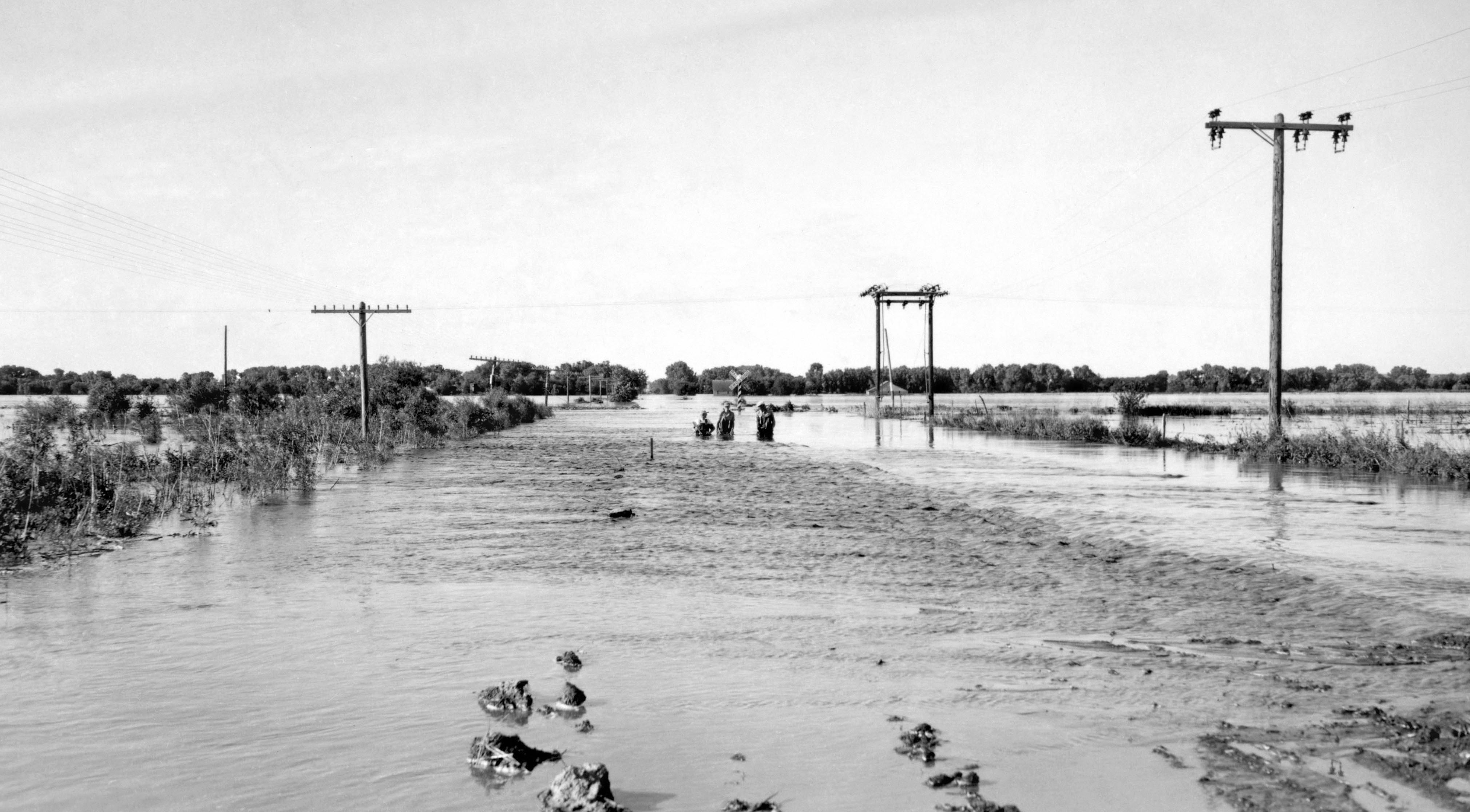
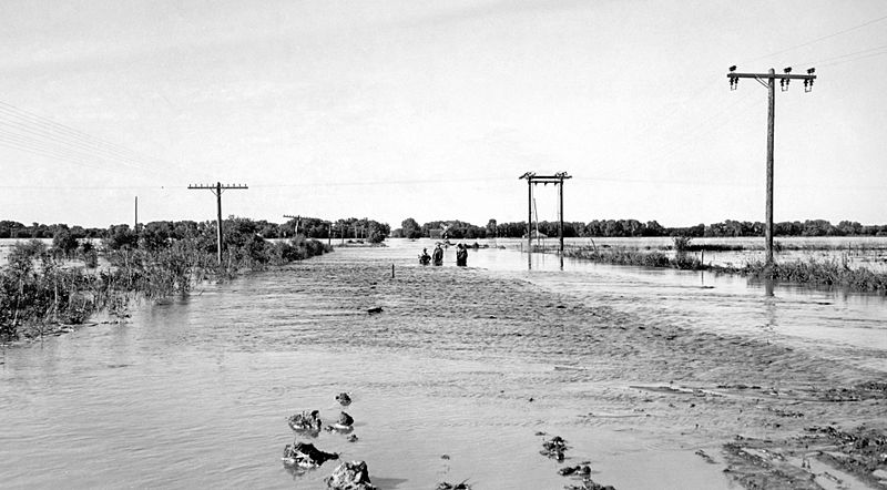
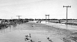
Description: June 24, 1947 flood of the Republican River on the border of Jewell County, Kansas and Republic County, Kansas near Hardy, Nebraska and Webber, Kansas, just south of Nebraska NE-8 on Kansas 1 Rd/CR-1 bridge over the Republican River. The normal flood stage for the river is at the tree line in the foreground.
Title: RepublicanRiver1947
Credit: USGS Surface Water Photo Gallery, item 18 09
Author: J.G. Connor (submitted to USGS by Steve Blanchard, OSW)
Usage Terms: Public domain
License: Public domain
Attribution Required?: No
Image usage
The following 4 pages link to this image:

All content from Kiddle encyclopedia articles (including the article images and facts) can be freely used under Attribution-ShareAlike license, unless stated otherwise.