
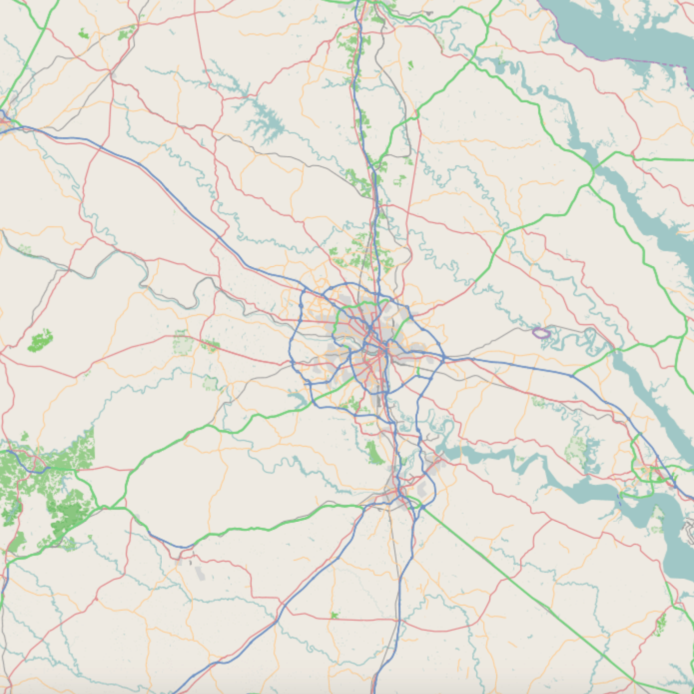
Image: Richmond metro area
Size of this preview: 600 × 600 pixels. Other resolutions: 240 × 240 pixels | 1,390 × 1,390 pixels.
Original image (1,390 × 1,390 pixels, file size: 479 KB, MIME type: image/png)
Description: Map of Richmond metropolitan area where top=38.29418, right=-76.58112, bottom=36.78282, and left=-78.48999.
Title: Richmond metro area
Credit: [1]
Author: Open StreetMap Foundation
Usage Terms: Open Database License
License: ODbL
License Link: http://opendatacommons.org/licenses/odbl/1.0/
Attribution Required?: Yes
Image usage
The following 4 pages link to this image:

All content from Kiddle encyclopedia articles (including the article images and facts) can be freely used under Attribution-ShareAlike license, unless stated otherwise.