
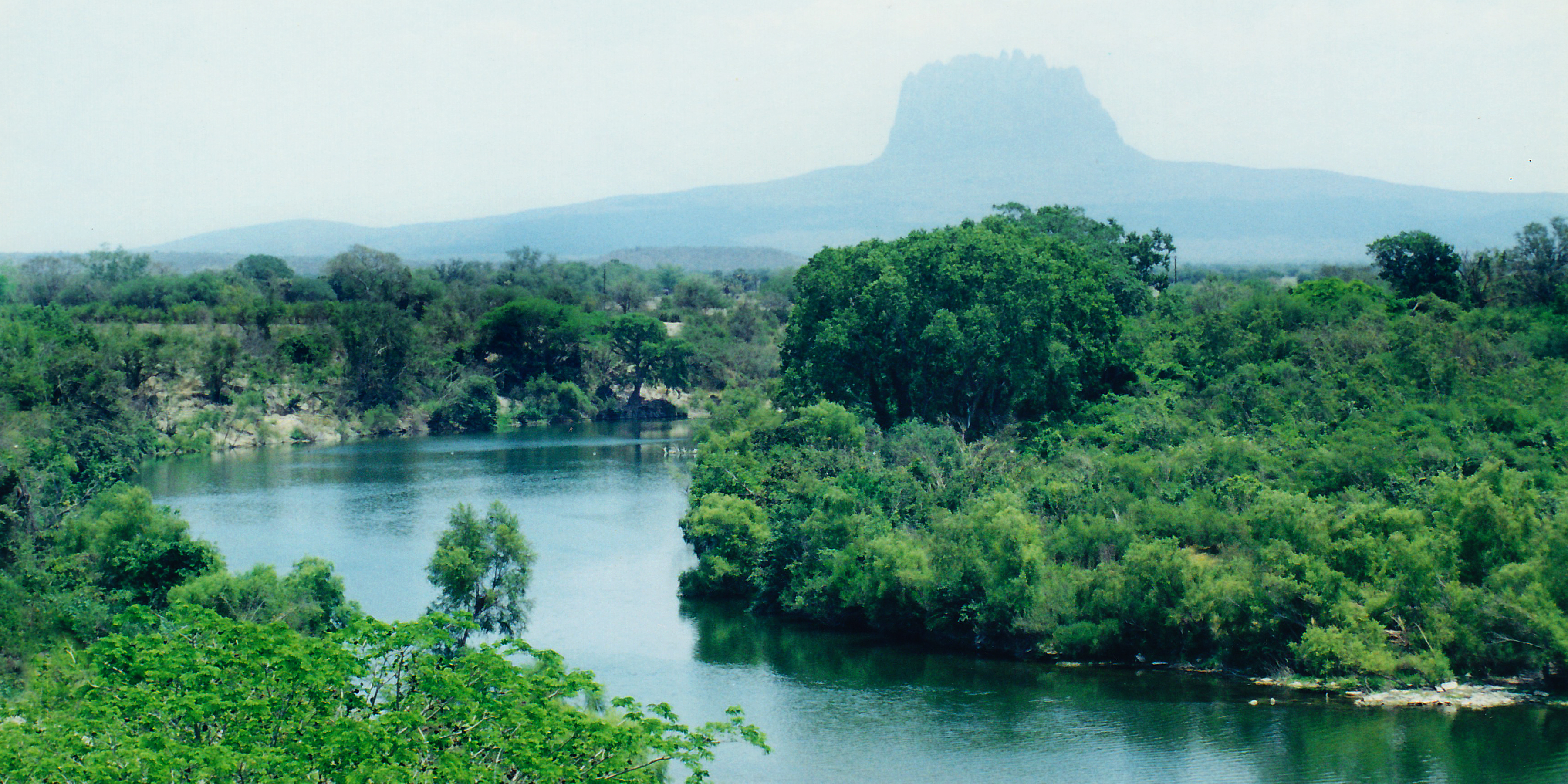
Image: Rio Guayalejo & Cerro del Bernal, Municipality of Gonzlaez, Tamaulipas, Mexico (17 April 2001)
Size of this preview: 800 × 400 pixels. Other resolutions: 320 × 160 pixels | 3,600 × 1,800 pixels.
Original image (3,600 × 1,800 pixels, file size: 5.84 MB, MIME type: image/jpeg)
Description: Rio Guayalejo at Highway 80 near Magiscatzin, with Cerro del Bernal silhouetted in the background, Municipality of Gonzlaez, Tamaulipas, Mexico (22.7973°N, 98.7131°W, 38 m. elev., looking southeast) Photographed on 17 April 2001 by William L. Farr. This image was originally photographed with film and later scanned from a print.
Title: Rio Guayalejo & Cerro del Bernal, Municipality of Gonzlaez, Tamaulipas, Mexico (17 April 2001)
Credit: Own work
Author: William L. Farr
Usage Terms: Creative Commons Attribution-Share Alike 4.0
License: CC BY-SA 4.0
License Link: https://creativecommons.org/licenses/by-sa/4.0
Attribution Required?: Yes
Image usage
The following page links to this image:

All content from Kiddle encyclopedia articles (including the article images and facts) can be freely used under Attribution-ShareAlike license, unless stated otherwise.
.jpg)