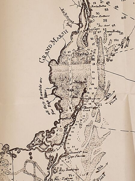
Image: Romans' map of Biscayne Bay

Size of this preview: 450 × 600 pixels. Other resolution: 180 × 240 pixels.
Original image (3,024 × 4,032 pixels, file size: 2.93 MB, MIME type: image/jpeg)
Description: Detail of a map of East and West Florida published by Bernard Romans in 1774 showing Biscayne Bay.
Title: Romans' map of Biscayne Bay
Credit: Photo of a detail of a reproduction of a map titled "Part of the Province of East Florida" published by Bernard Romans as part of A concise natural history of East and West Florida in 1774. Found in a facsimile reproduction of the 1924 Notes on the Life and Works of Bernard Romans by P. Lee Phillips published by the University Presses of Florida in 1975. ISBN 0-8130-0413-6.
Author: I, Donald Albury took the photo of the map.
Usage Terms: Public domain
License: Public domain
Attribution Required?: No
Image usage
The following page links to this image:

All content from Kiddle encyclopedia articles (including the article images and facts) can be freely used under Attribution-ShareAlike license, unless stated otherwise.
