
Image: Rupert map
No higher resolution available.
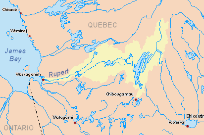
Rupert_map.png (412 × 273 pixels, file size: 19 KB, MIME type: image/png)
Description: Original drainage basin of the Rupert River, Quebec, Canada. For diverted basin since 2010, see: File:Rupert map_2.png
Title: Rupert map
Credit: Own work based on info from Atlas of Canada
Author: P199
Usage Terms: Public domain
License: Public domain
Attribution Required?: No
Image usage
The following 3 pages link to this image:

All content from Kiddle encyclopedia articles (including the article images and facts) can be freely used under Attribution-ShareAlike license, unless stated otherwise.