
Image: Saltonseadrainagemap
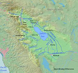
Size of this preview: 638 × 600 pixels. Other resolutions: 255 × 240 pixels | 782 × 735 pixels.
Original image (782 × 735 pixels, file size: 278 KB, MIME type: image/jpeg)
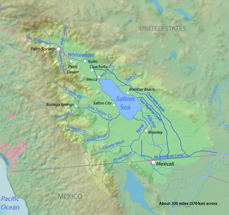
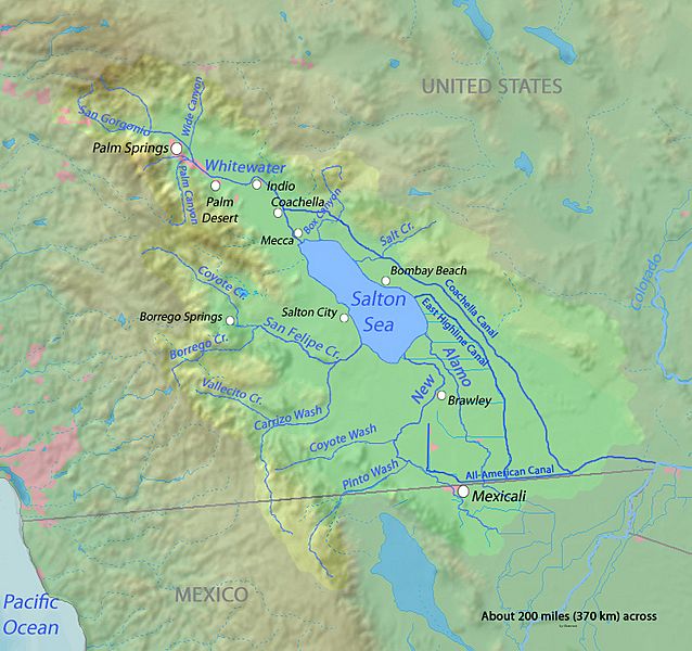
Description: Map of the Salton Sea drainage area in the Salton Sink endorheic basin. In the southeastern Coachella Valley and northwestern Imperial Valley — in Imperial and Riverside Counties. With the New River, Whitewater River, Alamo River and other tributaries; as well as All-American Canal, and Coachella and East Highline Canals indicated.
Title: Saltonseadrainagemap
Credit: Background and river course data from http://www2.demis.nl/mapserver/mapper.asp and some topography from http://seamless.usgs.gov/website/seamless/viewer.htm
Author: Shannon
Usage Terms: GNU Free Documentation License
License: GFDL
License Link: http://www.gnu.org/copyleft/fdl.html
Attribution Required?: Yes
Image usage
The following 3 pages link to this image:

All content from Kiddle encyclopedia articles (including the article images and facts) can be freely used under Attribution-ShareAlike license, unless stated otherwise.