
Image: San Juan Island on Tallis Map
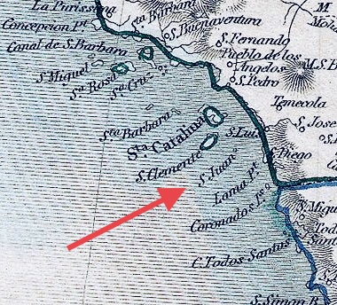
Description: San Juan Island, California, from a map by Tallis, which is an exceptional example of John Tallis and John Rapkin's highly desirable 1851 Map of Mexico, Texas, and Upper California. Drawn by John Rapkin for issue in the 1851 edition of John Tallis' Illustrated Altas.
Title: San Juan Island
Credit: This file was provided to Wikimedia Commons by Geographicus Rare Antique Maps, a specialist dealer in rare maps and other cartography of the 15th, 16th, 17th, 18th and 19th centuries, as part of a cooperation project.
Author: User:Ad17Minstral
Usage Terms: Creative Commons Attribution-Share Alike 4.0
License: CC BY-SA 4.0
License Link: https://creativecommons.org/licenses/by-sa/4.0
Attribution Required?: Yes
Image usage
The following 2 pages link to this image:
