
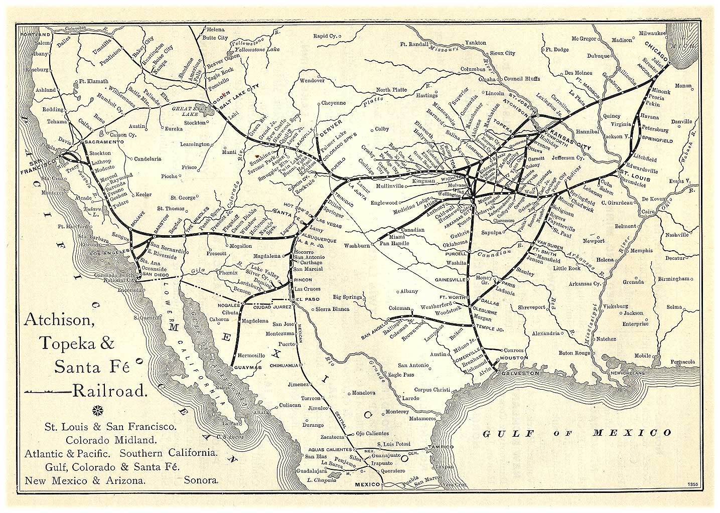
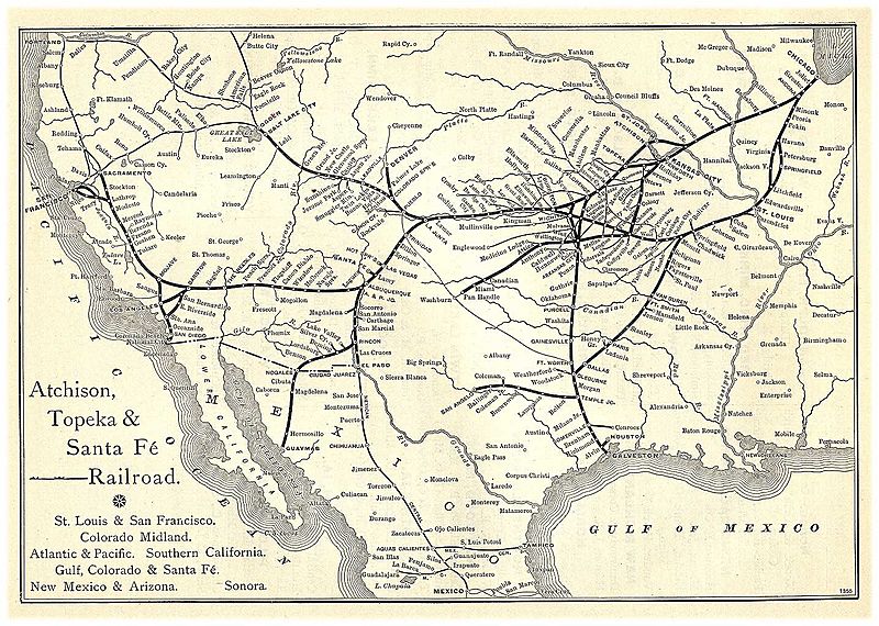
Image: Santa Fe Route Map 1891
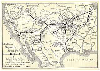
Size of this preview: 800 × 570 pixels. Other resolutions: 320 × 228 pixels | 1,435 × 1,023 pixels.
Original image (1,435 × 1,023 pixels, file size: 355 KB, MIME type: image/jpeg)
Description: An Atchison, Topeka & Santa Fe Railway Route Map from the 1891 (title Grain Dealers and Shippers Gazetteer).
Title: Santa Fe Route Map 1891
Credit: description: http://www.memoriallibrary.com/Trans/RRGaz/ATSF/ img url: http://www.memoriallibrary.com/Trans/RRGaz/ATSF/atchisontopeka.jpg Transfered by User:Jmabel from en-wiki, where this was inappropriately named as Santa_Fe_Route_Map_1881.jpg
Usage Terms: Public domain
License: Public domain
Attribution Required?: No
Image usage

All content from Kiddle encyclopedia articles (including the article images and facts) can be freely used under Attribution-ShareAlike license, unless stated otherwise.