
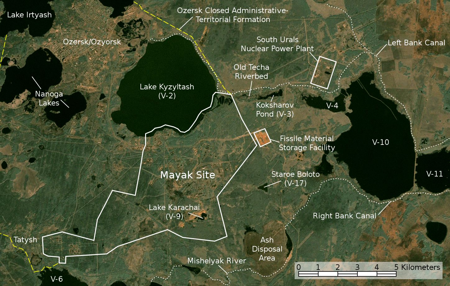
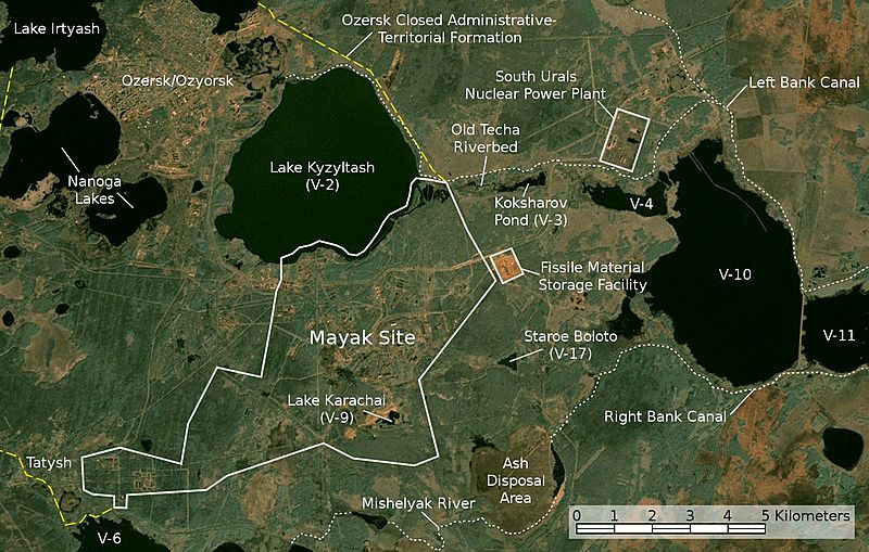
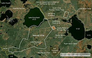
Image: Satellite image map of Mayak
Description: Satellite image/map of the Mayak nuclear facility, the closed town of Ozyorsk/Ozersk (Chelyabinsk-65), different lakes and reservoirs, and the South Urals nuclear power plant. Based on a screenshot from NASA World Wind (Landsat Global Mosaic visual layer), color corrected.
Title: Satellite image map of Mayak
Credit: NASA World Wind screenshot (Landsat Global Mosaic visual layer)
Author: NASA, Jan Rieke (color correction, borders and labels)
Permission: This work is based on a work in the public domain. It has been digitally enhanced and/or modified. This derivative work has been (or is hereby) released into the public domain by its author, JanRieke. This applies worldwide. In some countries this may not be legally possible; if so: JanRieke grants anyone the right to use this work for any purpose, without any conditions, unless such conditions are required by law. English | español | français | italiano | македонски | മലയാളം | русский | українська | +/− This image is in the public domain because it is a screenshot from NASA’s globe software World Wind using a public domain layer, such as Blue Marble, MODIS, Landsat, SRTM, USGS or GLOBE. English | فارسی | മലയാളം | Nederlands | Русский | +/−
Usage Terms: Public domain
License: Public domain
Attribution Required?: No
Image usage
The following page links to this image:
