
Image: Satellite image of Northern Europe
No higher resolution available.
Satellite_image_of_Northern_Europe.png (607 × 436 pixels, file size: 311 KB, MIME type: image/png)
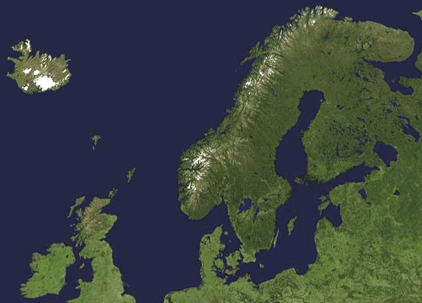
Description: A composed satellite photograph of Northern Europe in orthographic projection. This is NASA "Blue Marble" image applied as a texture on a sphere using Art of Illusion program. The observer is centered at (50° N, 20° E), at Moon distance above the Earth.
Title: Satellite image of Northern Europe
Credit: Europe_satellite_orthographic.jpg
Author: Europe_satellite_orthographic.jpg: created by NASA derivative work: Hayden120 (talk)
Usage Terms: Public domain
License: Public domain
Attribution Required?: No
Image usage
The following page links to this image:

All content from Kiddle encyclopedia articles (including the article images and facts) can be freely used under Attribution-ShareAlike license, unless stated otherwise.