
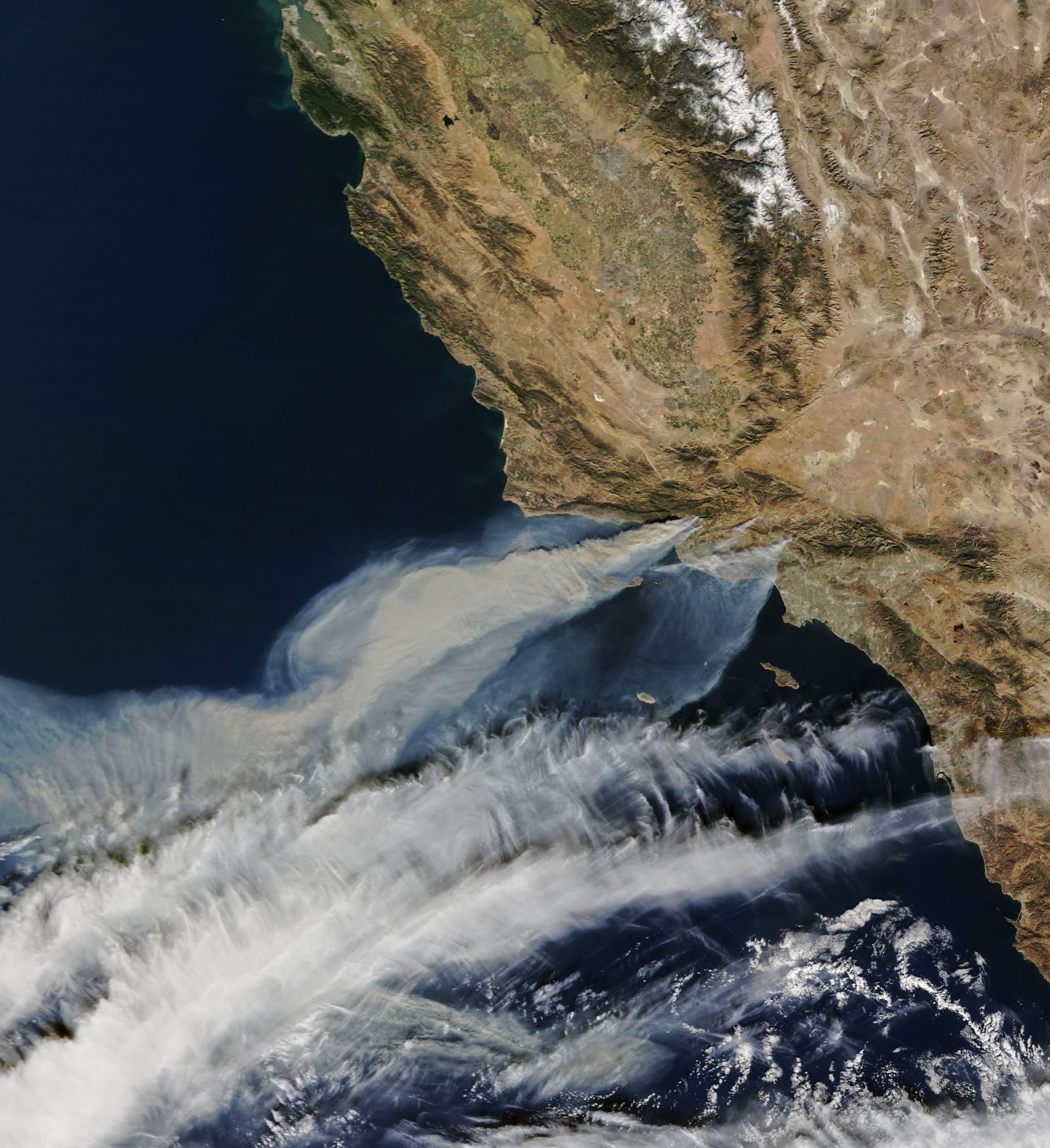
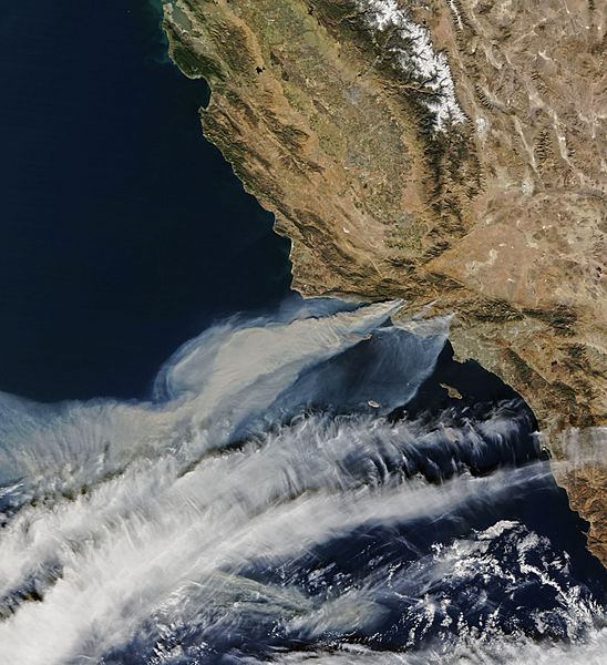
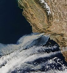
Image: Satellite image of Thomas Fire
Size of this preview: 548 × 600 pixels. Other resolutions: 219 × 240 pixels | 3,456 × 3,781 pixels.
Original image (3,456 × 3,781 pixels, file size: 1.88 MB, MIME type: image/jpeg)
Description: Satellite image from the Terra satellite of the smoke from the Thomas Fire in Ventura County, on December 5, along with the smoke from 2 other smaller fires, in Southern California.
Title: Satellite image of Thomas Fire
Credit: https://earthobservatory.nasa.gov/NaturalHazards/view.php?id=91379
Author: NASA Earth Observatory images by Joshua Stevens, using MODIS data. Instrument(s): Terra - MODIS
Permission: NASA
Usage Terms: Public domain
License: Public domain
Attribution Required?: No
Image usage
The following page links to this image:

All content from Kiddle encyclopedia articles (including the article images and facts) can be freely used under Attribution-ShareAlike license, unless stated otherwise.