
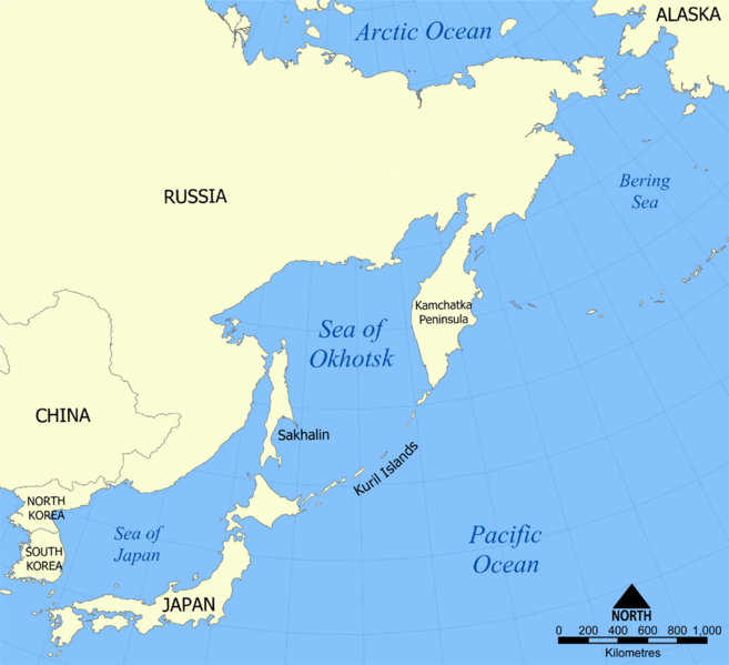
Image: Sea of Okhotsk map with state labels

Size of this preview: 657 × 599 pixels. Other resolutions: 263 × 240 pixels | 990 × 903 pixels.
Original image (990 × 903 pixels, file size: 84 KB, MIME type: image/png)
Description: This is a map showing the location of the Sea of Okhotsk, with nation states listed. The sea is bordered by Russia and Japan. Created by NormanEinstein, October 24, 2005.
Title: Sea of Okhotsk map with state labels
Credit: No machine-readable source provided. Own work assumed (based on copyright claims).
Author: No machine-readable author provided. NormanEinstein assumed (based on copyright claims).
Usage Terms: Creative Commons Attribution-Share Alike 3.0
License: CC-BY-SA-3.0
License Link: http://creativecommons.org/licenses/by-sa/3.0/
Attribution Required?: Yes
Image usage
The following image is a duplicate of this image (more details):
The following 2 pages link to this image:

All content from Kiddle encyclopedia articles (including the article images and facts) can be freely used under Attribution-ShareAlike license, unless stated otherwise.