
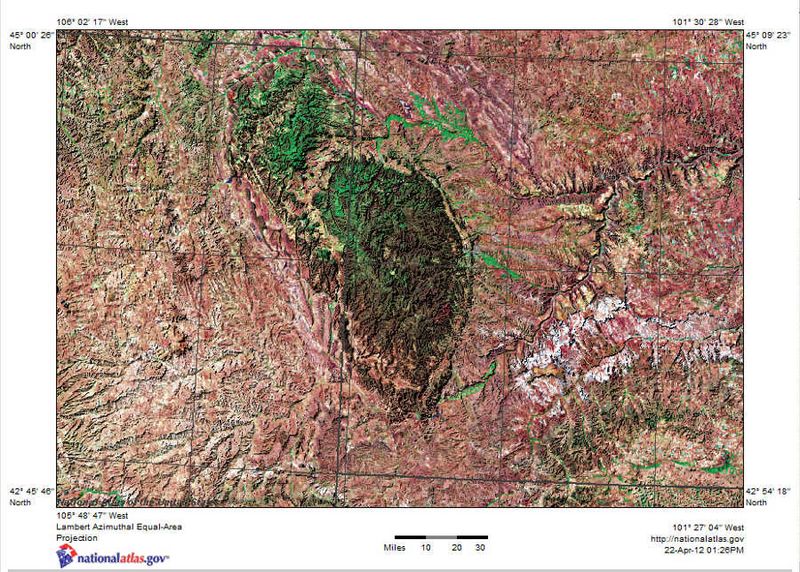
Image: Shaded relief map of Black Hills, SD, Topographic-NatAtlas-BHills-SD

Size of this preview: 800 × 572 pixels. Other resolutions: 320 × 229 pixels | 900 × 643 pixels.
Original image (900 × 643 pixels, file size: 150 KB, MIME type: image/jpeg)
Description: Satellite image with shaded relief map of Black Hills in southwest South Dakota.
Title: Shaded relief map of Black Hills, SD, Topographic-NatAtlas-BHills-SD
Credit: http://nationalatlas.gov
Author: U.S. Geological Survey
Permission: This image is a work of the National Biological Information Infrastructure project of the United States Geological Survey's Biological Informatics Office. The images were explicitly marked as being the public domain on the NBII Digital Image Library website. As a work of the U.S. federal government, the image is in the public domain.
Usage Terms: Public domain
License: Public domain
Attribution Required?: No
Image usage
The following page links to this image:

All content from Kiddle encyclopedia articles (including the article images and facts) can be freely used under Attribution-ShareAlike license, unless stated otherwise.