
Image: Shatt al arab
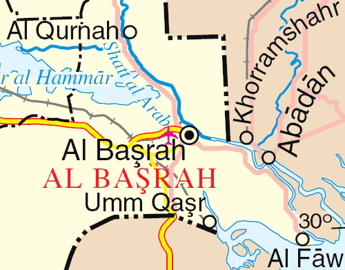
Description: The Arvandrud/Shatt al-Arab, Iran/Iraq border
Title: Shatt al arab
Credit: extract from http://www.un.org/Depts/Cartographic/map/profile/iraq.pdf
Author: UN
Permission: This image is a map derived from a United Nations map. Unless stated otherwise, UN maps are to be considered in the public domain. This applies worldwide. Some UN maps have special copyrights, as indicated on the map itself. UN maps are, in principle, open source material and you can use them in your work or for making your own map. UN requests however that you delete the UN name, logo and reference number upon any modification to the map. Content of your map will be your responsibility. You can state in your publication, if you wish, something like: based on UN map … (map name, map number, revision number and date). See: The UN Cartographic Section (retrieved 16 November 2013)
Usage Terms: Public domain
License: Public domain
Attribution Required?: No
Image usage
The following page links to this image:
