
Image: Shepherd-c-026-027
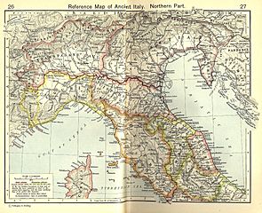
Size of this preview: 737 × 599 pixels. Other resolutions: 295 × 240 pixels | 1,820 × 1,480 pixels.
Original image (1,820 × 1,480 pixels, file size: 1.21 MB, MIME type: image/jpeg)
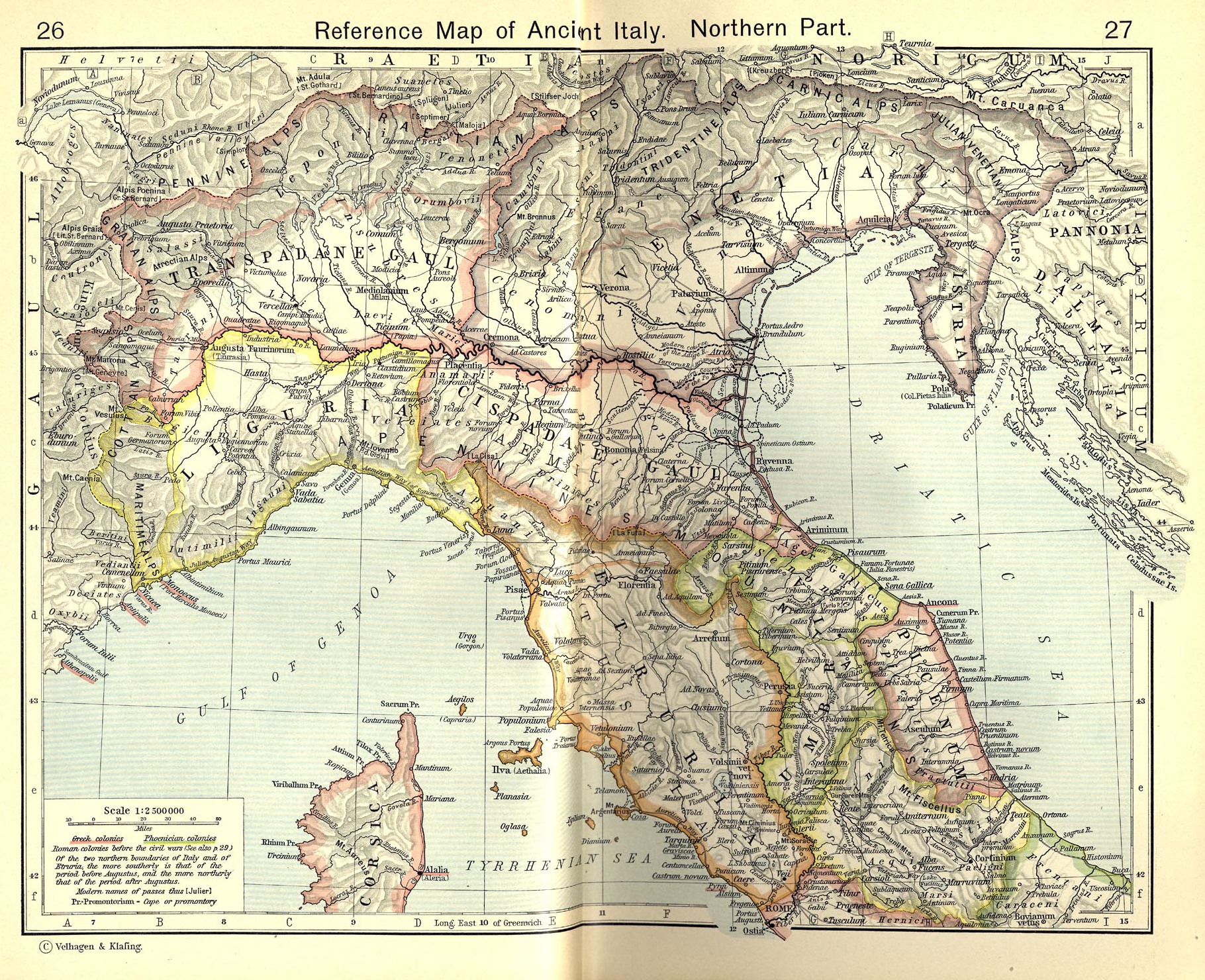
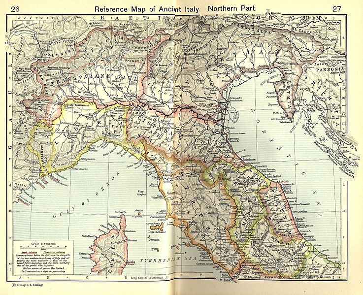
Description: Reference Map of Ancient Italy, Northern Part [1] Historical Atlas by William R. Shepherd, 1911. Courtesy of the University of Texas Libraries, The University of Texas at Austin. From The Historical Atlas by William R. Shepherd, 1911 edition
Title: Shepherd Map of Ancient Italy, Northern Part
Credit: Historical Atlas by William R. Shepherd 1911 edition
Author: Historical Atlas by William R. Shepherd 1911 edition
Permission: This image is in the public domain due to its age. See also http://www.lib.utexas.edu/usage_statement.html?maps=yes
Usage Terms: Public domain
License: Public domain
Attribution Required?: No
Image usage
The following image is a duplicate of this image (more details):
The following page links to this image:

All content from Kiddle encyclopedia articles (including the article images and facts) can be freely used under Attribution-ShareAlike license, unless stated otherwise.