
Image: Sketch Map of Northern Somali Land
Size of this preview: 800 × 434 pixels. Other resolutions: 320 × 174 pixels | 1,051 × 570 pixels.
Original image (1,051 × 570 pixels, file size: 462 KB, MIME type: image/png)
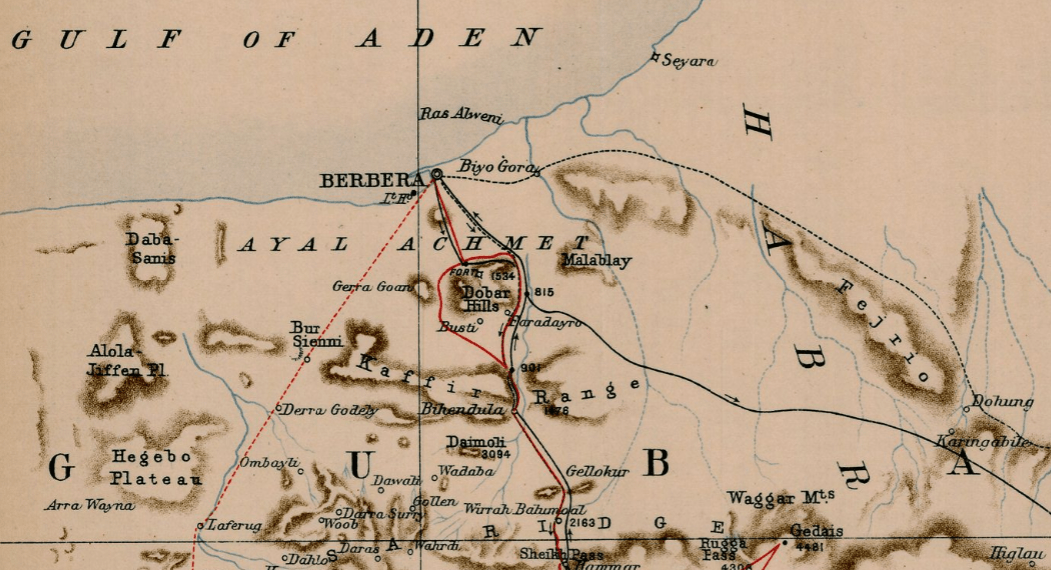
Description: Cropped 'Sketch Map of Northern Somali Land' displaying Berbera and it's environs
Title: Sketch Map of Northern Somali Land
Credit: University of Illinois Rare Book & Manuscript Library Maps of Africa to 1900 Items Sketch Map of Northern Somali Land https://digital.library.illinois.edu/items/440a2ac0-e946-0133-1d3d-0050569601ca-8#?c=0&m=0&s=0&cv=0&r=0&xywh=-257%2C125%2C4183%2C1674
Author: Brander-Dunbar, Lieut Parkinson, F. B. Aylmer, G. P. V.
Usage Terms: Public domain
License: Public domain
Attribution Required?: No
Image usage
The following page links to this image:

All content from Kiddle encyclopedia articles (including the article images and facts) can be freely used under Attribution-ShareAlike license, unless stated otherwise.