
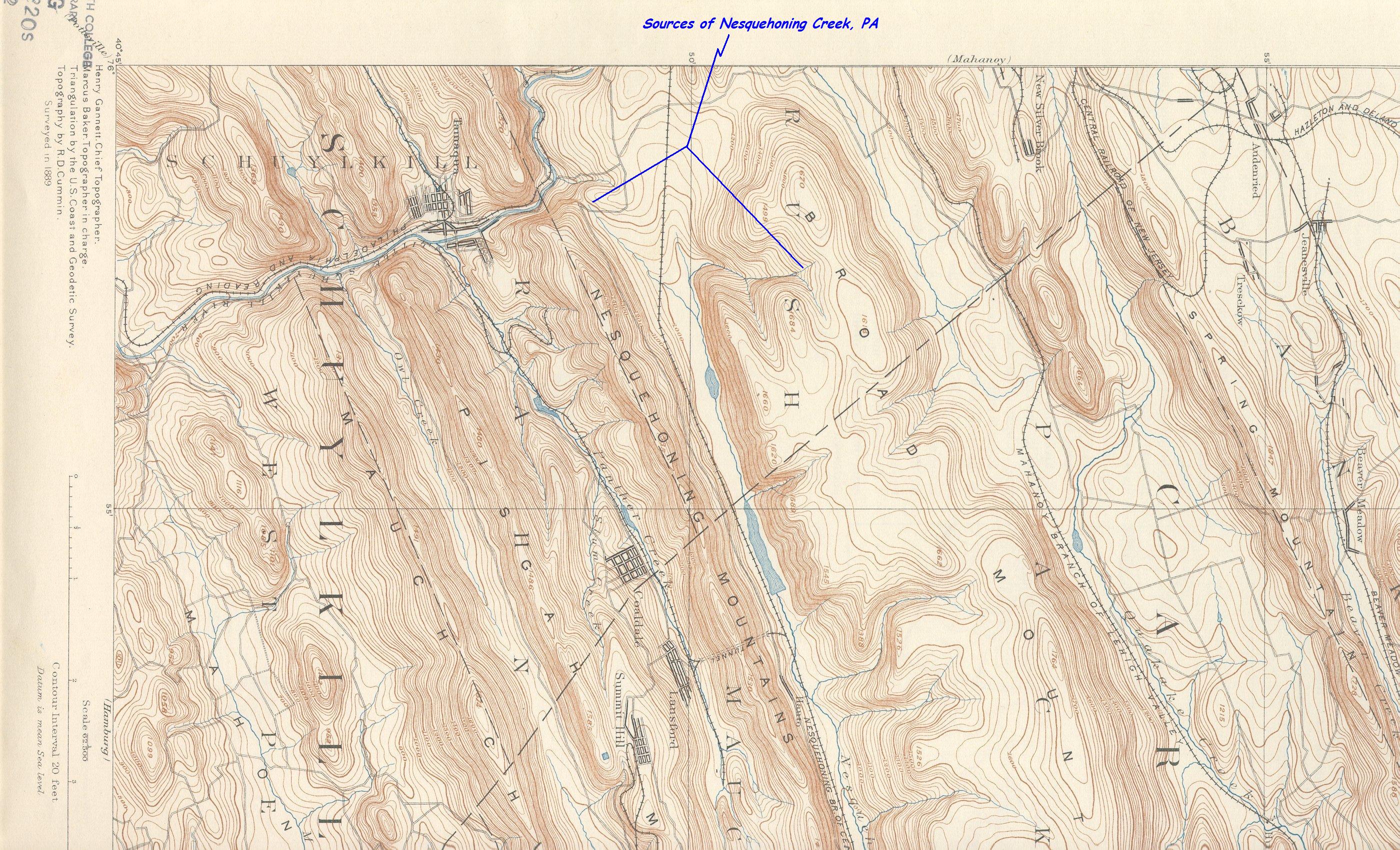
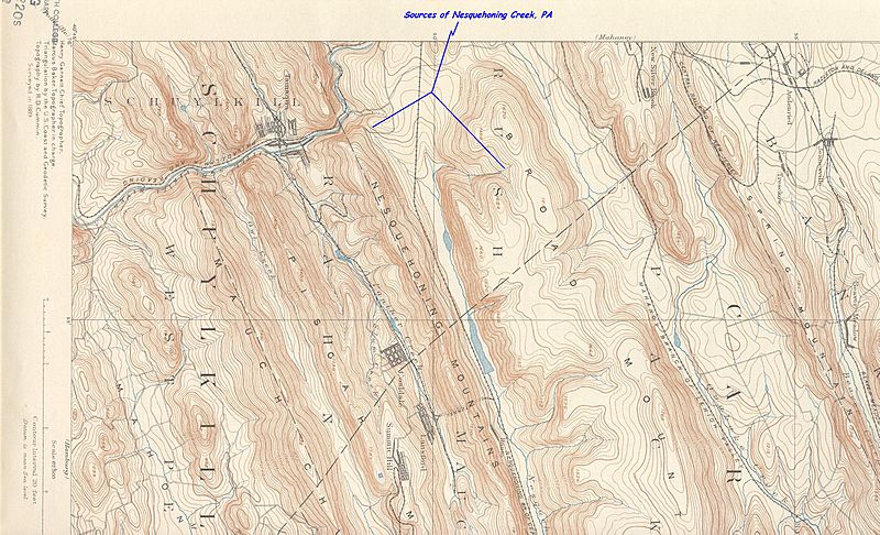
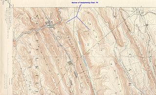
Image: Sources of Nesquehoning creek from hzlt93sw-Rot90cw
Size of this preview: 800 × 486 pixels. Other resolutions: 320 × 194 pixels | 2,800 × 1,700 pixels.
Original image (2,800 × 1,700 pixels, file size: 1.33 MB, MIME type: image/jpeg)
Description: This excerpt of the Hazleton, PA Quadrant shows the head water sources of the Nesquehoning Creek tributary of the Lehigh River and the important climb up that gradient which allowed railroads to service the interior of the Pennsylvania Southern Anthracite Coal Region.
Title: Sources of Nesquehoning creek from hzlt93sw-Rot90cw
Credit: USGS Pennsylvania Topographical map Hazelton Quadrant, 1893 coded hzlt93sw-Rot90cw.JPG
Author: USGS as modified by myself
Usage Terms: Public domain
License: Public domain
Attribution Required?: No
Image usage
The following 2 pages link to this image:

All content from Kiddle encyclopedia articles (including the article images and facts) can be freely used under Attribution-ShareAlike license, unless stated otherwise.