
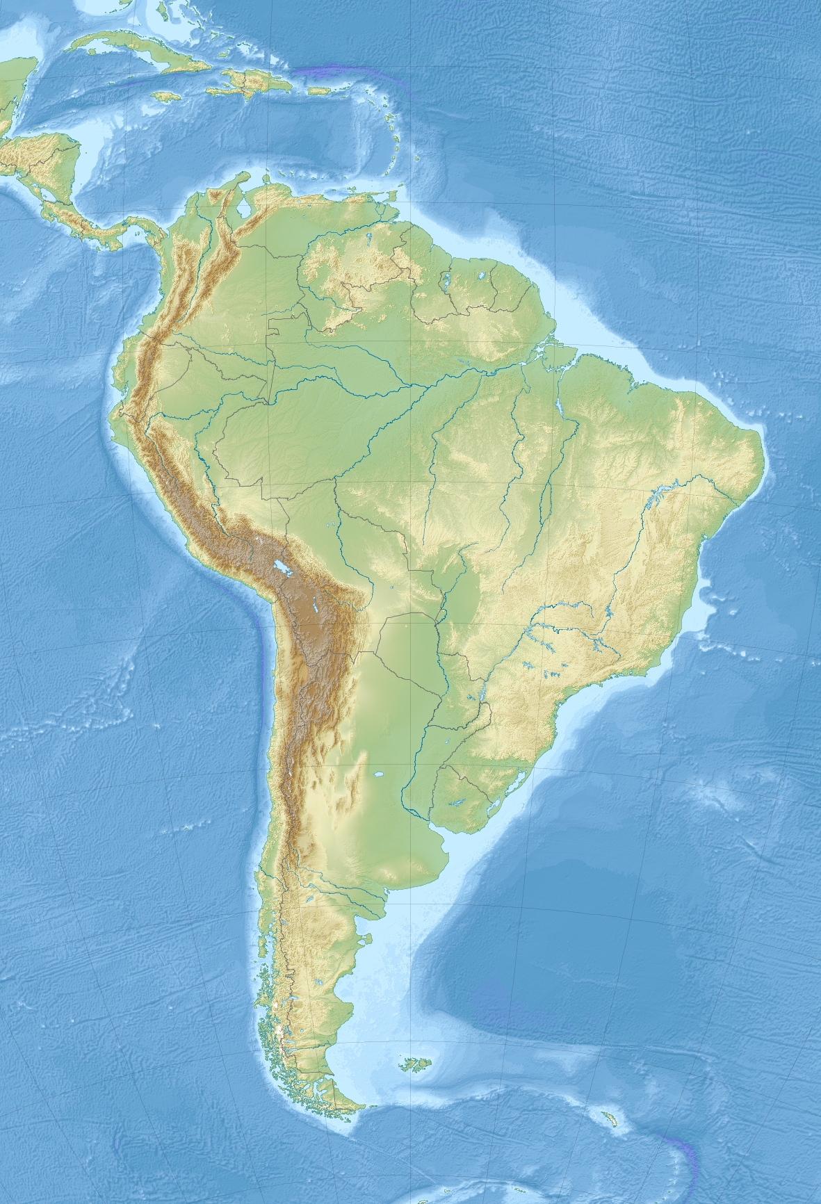
Image: South America laea relief location map
Description: Relief location map of SouthAmerica. Projection: Lambert azimuthal equal-area projection. Area of interest: N: 25.0° N S: -60.0° N W: -90.0° E E: -30.0° E Projection center: NS: -17.5° N WE: -60.0° E GMT projection: -JA-60/-17.5/20.0c GMT region: -R-111.71735564517205/-55.20793284837989/-29.863824948966922/25.8980715779886r GMT region for grdcut: -R-112.0/-63.0/-8.0/26.0r Relief: SRTM30plus. Made with Natural Earth. Free vector and raster map data @ naturalearthdata.com.
Title: South America laea relief location map
Credit: Own work
Author: Uwe Dedering
Usage Terms: Creative Commons Attribution-Share Alike 3.0
License: CC BY-SA 3.0
License Link: https://creativecommons.org/licenses/by-sa/3.0
Attribution Required?: Yes
Image usage
The following 25 pages link to this image:
- 1922 Vallenar earthquake
- 1985 Algarrobo earthquake
- Caral
- Cobija
- Cochabamba
- Curitiba
- El Alto
- Huanzo mountain range
- Huaytapallana mountain range
- Itaipu Dam
- Lake Poopó
- Mainstay Lake
- Mount Robinson
- Mount Roraima
- Pituil
- Puerto Rico, Pando
- Santa Cruz, Bolivia
- Santiago, Chile
- Stanley Peak, South Georgia
- Sucre
- São Paulo
- Tarija
- Uru Uru Lake
- Valencia, Ecuador
- Wiñaymarka Lake
