
Image: South Yorkshire UK location map

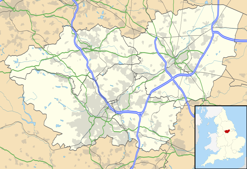
Description: Map of South Yorkshire, UK with the following information shown: Administrative borders Coastline, lakes and rivers Roads and railways Urban areas Equirectangular map projection on WGS 84 datum, with N/S stretched 165% Geographic limits: West: 1.84W East: 0.85W North: 53.67N South: 53.26N
Title: South Yorkshire UK location map
Credit: Ordnance Survey OpenData. Administrative borders and coastline data from Boundary-Line product. All other geographic data from Meridian 2 product. Inset derived from England location map.svg by Spischot.
Author: Nilfanion, created using Ordnance Survey data
Permission: This file is licensed under the Creative Commons Attribution-Share Alike 3.0 Unported license. Attribution: Contains Ordnance Survey data © Crown copyright and database right You are free: to share – to copy, distribute and transmit the work to remix – to adapt the work Under the following conditions: attribution – You must attribute the work in the manner specified by the author or licensor (but not in any way that suggests that they endorse you or your use of the work). share alike – If you alter, transform, or build upon this work, you may distribute the resulting work only under the same or similar license to this one. http://creativecommons.org/licenses/by-sa/3.0 CC BY-SA 3.0 Creative Commons Attribution-Share Alike 3.0 truetrue
Usage Terms: Creative Commons Attribution-Share Alike 3.0
License: CC BY-SA 3.0
License Link: http://creativecommons.org/licenses/by-sa/3.0
Attribution Required?: Yes
Image usage
The following 48 pages link to this image:
- All Saints Church, Rotherham
- Askern
- Aston, South Yorkshire
- Bagger Wood
- Barnsdale
- Barnsley
- Bawtry
- Beighton, South Yorkshire
- Bradfield, South Yorkshire
- Brierley
- Brightside, Sheffield
- Carbrook, Sheffield
- Church of St John the Baptist, Royston, South Yorkshire
- Conisbrough
- Conisbrough Castle
- Darfield, South Yorkshire
- Denaby Ings
- Dinnington, South Yorkshire
- Doncaster Sheffield Airport
- Dore
- Dore, South Yorkshire
- Firth Wood
- Grimethorpe
- Hatfield, South Yorkshire
- Hatfield Chase
- Intake, Sheffield
- Maltby, South Yorkshire
- Mexborough
- Northern General Hospital
- Penistone
- RSPB Dearne Valley Old Moor
- Robin Hood Airport Doncaster Sheffield
- Rotherham
- Somme Barracks, Sheffield
- St Wilfrid's Church, Cantley
- Stainforth, South Yorkshire
- Stocksbridge
- Swinton, South Yorkshire
- Templeborough
- Thorne, South Yorkshire
- Thurnscoe
- Tickhill
- Wales, South Yorkshire
- Wath upon Dearne
- West End, Sheffield
- Wombwell
- Woolley Colliery
- Template:Location map United Kingdom South Yorkshire
