
Image: South lebanon map

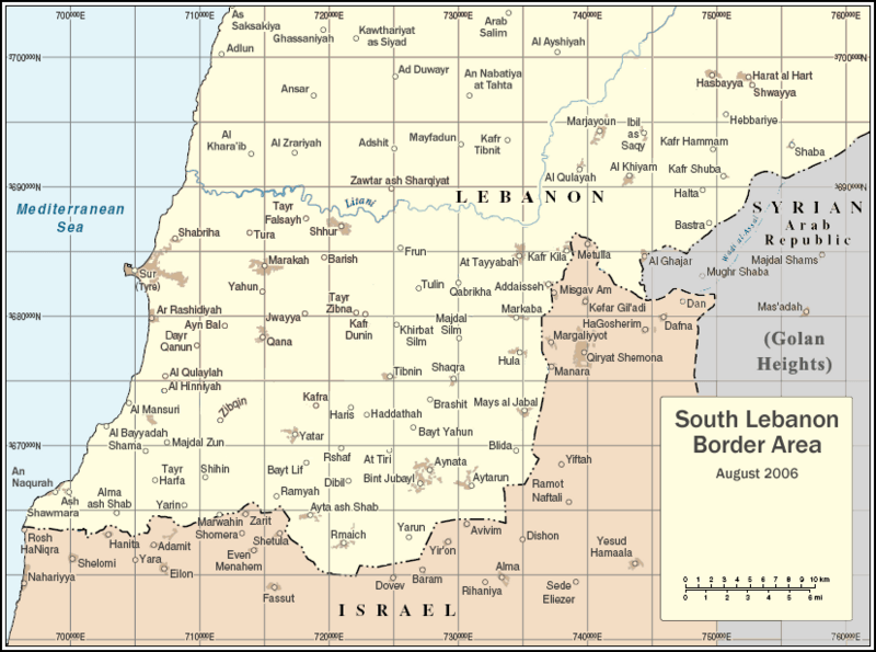
Description: By ChrisO, adapted from http://www.un.org/Depts/Cartographic/map/profile/unifil.pdf
Title: South lebanon map
Credit: Transferred from en.wikipedia
Author: Original uploader was ChrisO at en.wikipedia
Permission: This image is a map derived from a United Nations map. Unless stated otherwise, UN maps are to be considered in the public domain. This applies worldwide. Some UN maps have special copyrights, as indicated on the map itself. UN maps are, in principle, open source material and you can use them in your work or for making your own map. UN requests however that you delete the UN name, logo and reference number upon any modification to the map. Content of your map will be your responsibility. You can state in your publication, if you wish, something like: based on UN map … (map name, map number, revision number and date). See: The UN Cartographic Section (retrieved 16 November 2013) This work has been released into the public domain by its author, ChrisO at the wikipedia project. This applies worldwide. In case this is not legally possible: ChrisO grants anyone the right to use this work for any purpose, without any conditions, unless such conditions are required by law.
Usage Terms: Public domain
License: Public domain
Attribution Required?: No
Image usage
The following page links to this image:
