
Image: Spice Islands 1518 map
No higher resolution available.
Spice_Islands_1518_map.jpg (700 × 433 pixels, file size: 76 KB, MIME type: image/jpeg)
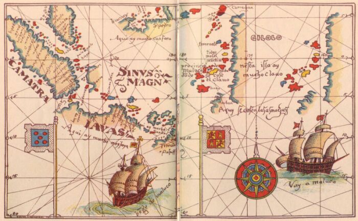
Description: The Magellan map of 1518 illustrating the claims that Maluku actually fell within the Spanish rather than Portuguese sphere.
Title: Spice Islands 1518 map
Credit: Own work
Author: HHEHUM
Usage Terms: Creative Commons Attribution-Share Alike 4.0
License: CC BY-SA 4.0
License Link: https://creativecommons.org/licenses/by-sa/4.0
Attribution Required?: Yes
Image usage
The following 2 pages link to this image:

All content from Kiddle encyclopedia articles (including the article images and facts) can be freely used under Attribution-ShareAlike license, unless stated otherwise.