
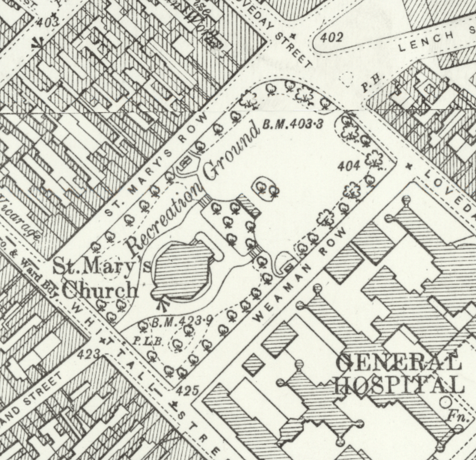
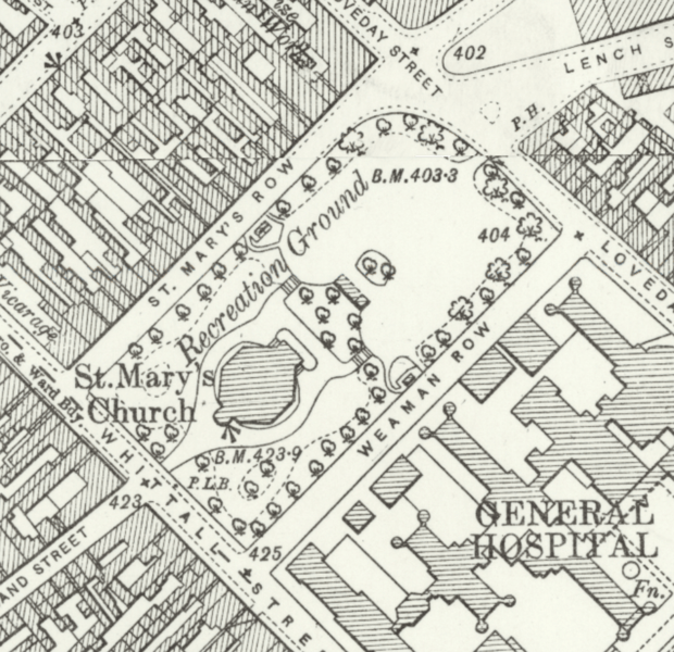
Image: St Mary's Church, Whittall Street, Birmingham - OS 25 inch 1892-1914 02
Size of this preview: 620 × 600 pixels. Other resolutions: 248 × 240 pixels | 954 × 923 pixels.
Original image (954 × 923 pixels, file size: 2.11 MB, MIME type: image/png)
Description: St Mary's Church, Whittall Street, Birmingham, England, on the Ordnance Survey 25 inch map of 1892-1914.
Title: St Mary's Church, Whittall Street, Birmingham - OS 25 inch 1892-1914 02
Credit: https://maps.nls.uk/geo/explore/side-by-side/
Author: Ordnance Survey
Usage Terms: Public domain
License: Public domain
Attribution Required?: No
Image usage
The following page links to this image:

All content from Kiddle encyclopedia articles (including the article images and facts) can be freely used under Attribution-ShareAlike license, unless stated otherwise.