
Image: St Matthew's church, Brixton - geograph.org.uk - 1396586
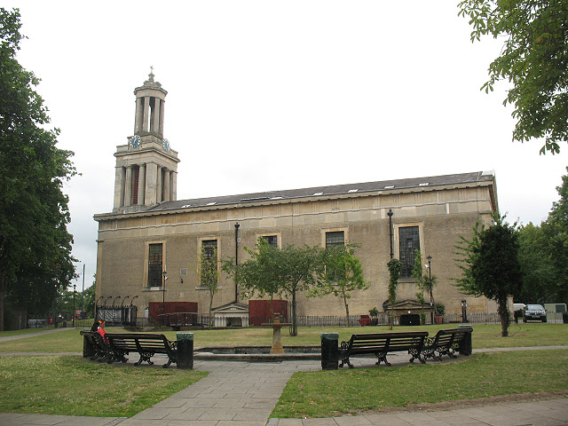
Description: St Matthew's church, Brixton, near to Brixton, Lambeth, Great Britain. The parish church of Brixton was built in 1822 to the designs of C.F. Porden. St Matthew's and its churchyard (now a public park) stand on a triangle of land that forms a gyratory traffic system. The building is listed grade 2* (listed building no. 204008), but during the 1970's and 1980's the interior was significantly re-ordered to provide a range of community facilities, and following the financial collapse of that enterprise it was again refurbished in 1993-4. The basement is now a restaurant/nightclub, but part of the ground floor is still set aside as a parish church <a href="https://www.geograph.org.uk/photo/1396612">TQ3075 : St Matthew's church, Brixton - worship area</a>.
Title: St Matthew's church, Brixton - geograph.org.uk - 1396586
Credit: From geograph.org.uk; transferred by User:Kurpfalzbilder.de using geograph_org2commons.
Author: Stephen Craven
Permission: Creative Commons Attribution Share-alike license 2.0
Usage Terms: Creative Commons Attribution-Share Alike 2.0
License: CC BY-SA 2.0
License Link: https://creativecommons.org/licenses/by-sa/2.0
Attribution Required?: Yes
Image usage
The following page links to this image:
