
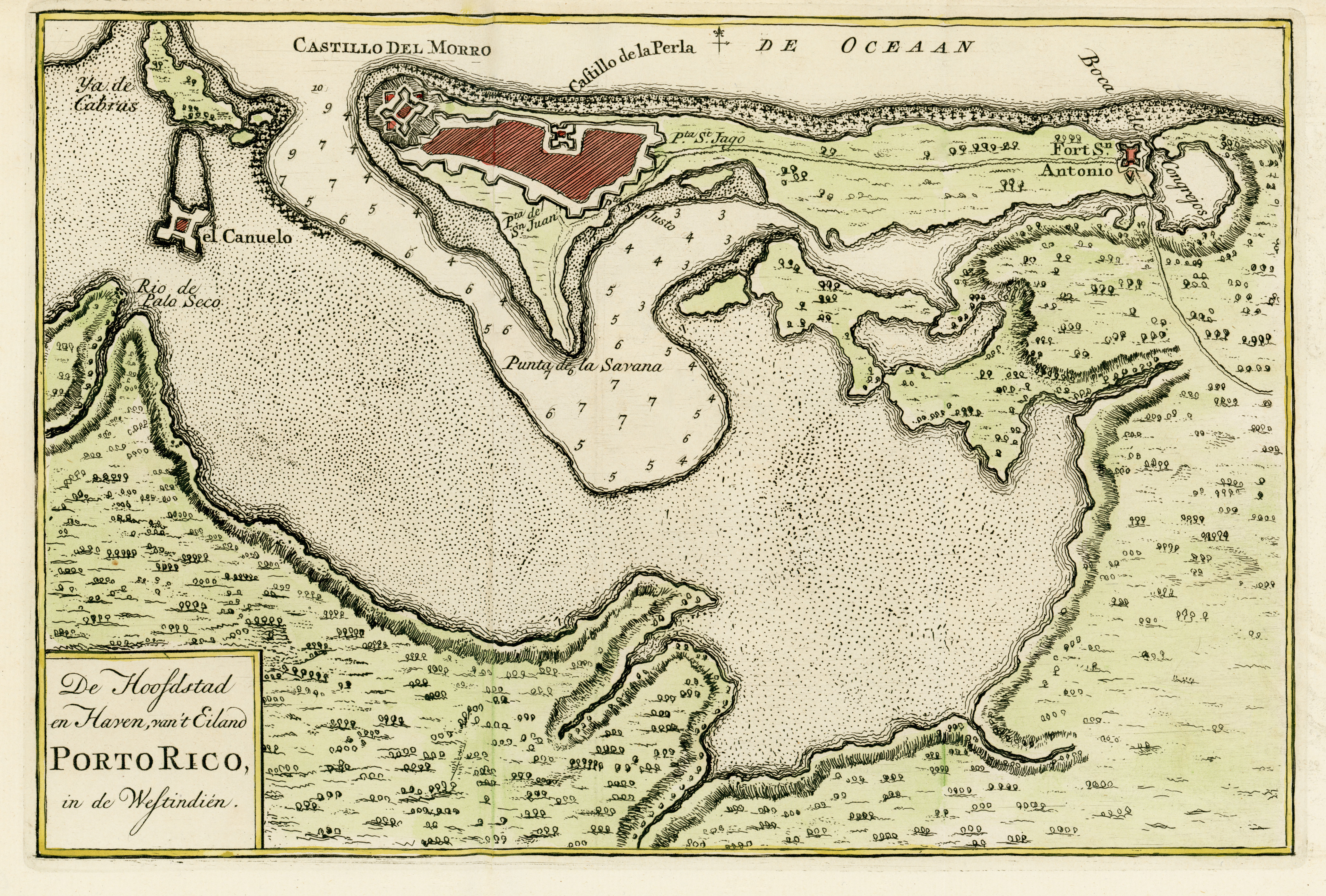
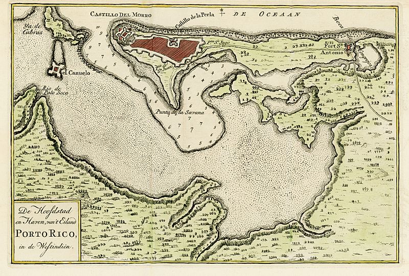
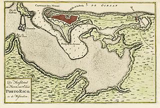
Image: Staat van Amerika, map of San Juan, Puerto Rico, 1766
Size of this preview: 800 × 541 pixels. Other resolutions: 320 × 216 pixels | 6,476 × 4,378 pixels.
Original image (6,476 × 4,378 pixels, file size: 6.68 MB, MIME type: image/jpeg)
Description: Map of San Juan, Puerto Rico, printed in 1766, but this one was taken from a 1889 publication. The original title: De Hoofdstad en Haven van't Eiland Porto Rico, in de Westindien
Title: Staat van Amerika, map of San Juan, Puerto Rico, 1766
Credit: Winsor, Justin. Narrative and Critical History of America. Boston: Houghton, Mifflin and Co, 1884. page 288 https://books.google.com/books?id=L_I_AAAAYAAJ
Author: Isaak Tirion
Usage Terms: Public domain
License: Public domain
Attribution Required?: No
Image usage
The following 2 pages link to this image:

All content from Kiddle encyclopedia articles (including the article images and facts) can be freely used under Attribution-ShareAlike license, unless stated otherwise.